Medium airport · United States
Santa Fe Municipal AirportKSAF
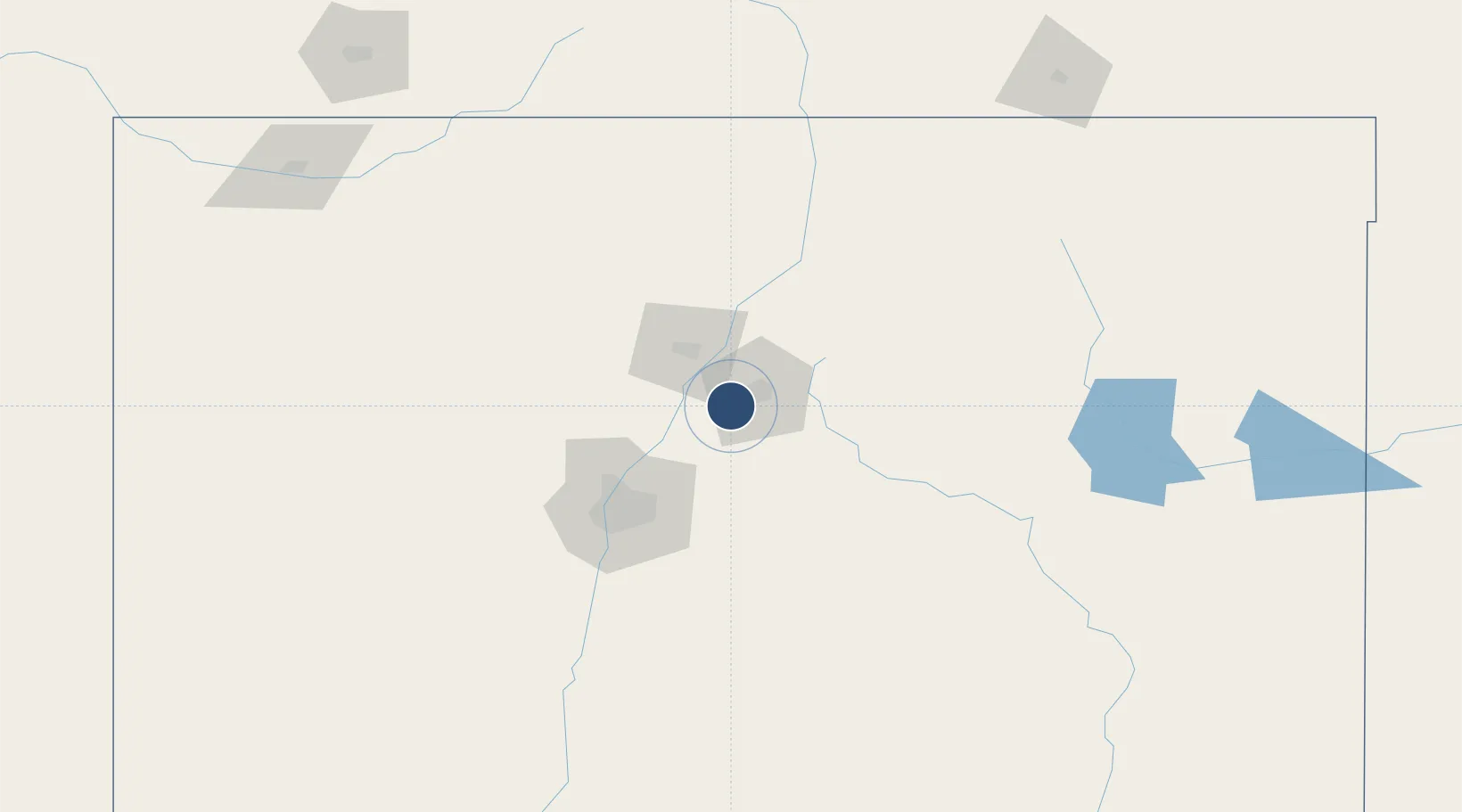
35.6171°, -106.0890°
8,366 ft
Longest runway
3
Runways
6,348 ft
Elevation
Runway & Layout

Radio Frequencies
ATIS
128.55 MHz
TWR
119.5 MHz
GND
121.7 MHz
CTAF
119.5 MHz
CNTR
132.8 MHz
ALBUQUERQUE CNTR
RDO
122.2 MHz
ALBUQUERQUE RDO
UNIC
122.95 MHz
UNICOM
Runways · 3
| Runway | Dimensions | Surface | True heading | Lit |
|---|---|---|---|---|
| 02/20 | 8,366 × 150ft | Asphalt | 035° | ✓ |
| 15/33 | 6,316 × 100ft | Asphalt | 167° | ✓ |
| 10/28 | 6,301 × 75ft | Asphalt | 112° | — |
Airport Specifications
IATA code
SAF
ICAO code
KSAF
Airport class
Medium airport
Scheduled service
Yes
Runway surface
Asphalt
Served city
Santa Fe
Location
Nearby Logistics Neighbours
Airports
Cities
- 1Chimayo45 km
- 2San Juan Pueblo48 km
- 3Alcade52 km
- 4Bernalillo55 km
- 5Edgewood64 km
Ports
- 1Guaymas970 km
- 2Ensenada1060 km
- 3San Diego1070 km
- 4Rosarito1077 km
- 5Santa Rosalia1092 km
Trade Zones
- 1FTZ No. 110 Albuquerque89 km
- 2FTZ No. 112 Colorado Springs375 km
- 3FTZ No. 197 Dona Ana County375 km
- 4FTZ No. 068 El Paso423 km
- 5FTZ No. 150 El Paso423 km
DatabookThe Record of Consolidated Knowledge
United States beyond logistics?