UN/LOCODE hub · United States
USVMZ
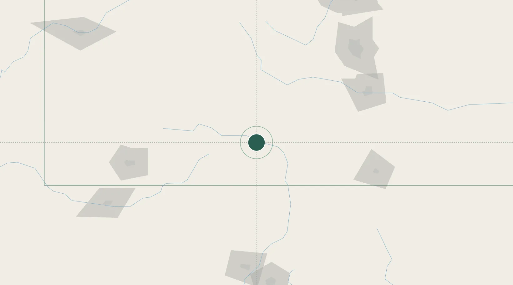
Monte Vista
37.5833°, -106.1500°
4,294
Population
2
Transport functions
Transport Functions
Rail
Road
Hub Profile
Place type
Populated place
Region
Colorado
Population
4,294
Time zone
America/Denver
Elevation
2,336 m
Location
Nearby Logistics Neighbours
Cities
- 1Center19 km
- 2Del Norte23 km
- 3Blanca58 km
- 4San Acacio68 km
- 5Chama85 km
Ports
- 1San Diego1139 km
- 2Ensenada1149 km
- 3Newport Beach1149 km
- 4Rosarito1153 km
- 5Guaymas1163 km
Airports
Trade Zones
- 1FTZ No. 112 Colorado Springs181 km
- 2FTZ No. 298 Jefferson County255 km
- 3FTZ No. 123 Denver260 km
- 4FTZ No. 293 Limon284 km
- 5FTZ No. 110 Albuquerque284 km
DatabookThe Record of Consolidated Knowledge
United States beyond logistics?