Transport Functions
Rail
Road
Hub Profile
Place type
Populated place
Region
Colorado
Population
2,204
Time zone
America/Denver
Elevation
2,330 m
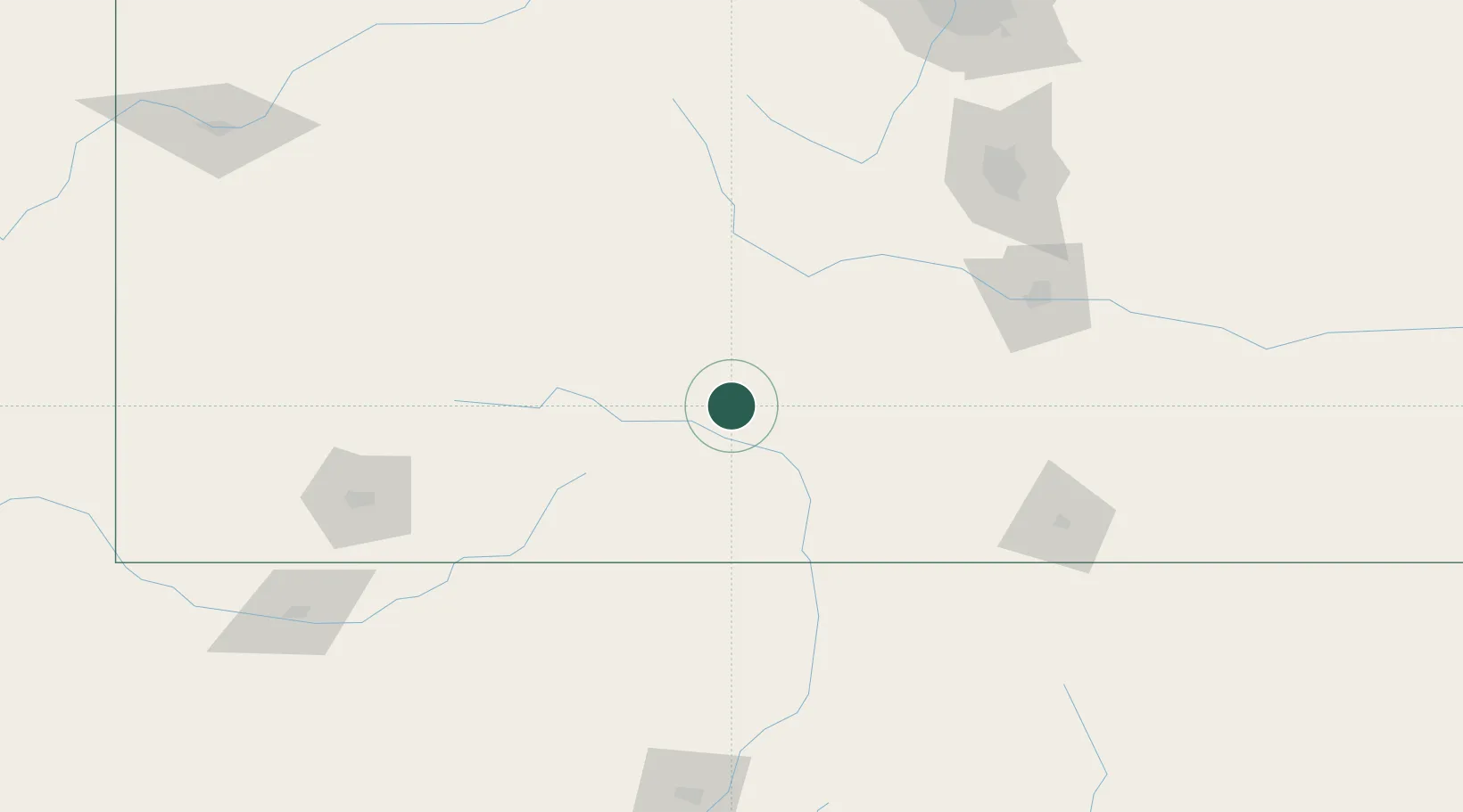
Location
Nearby Logistics Neighbours
Cities
- 1Monte Vista19 km
- 2Del Norte26 km
- 3Blanca62 km
- 4Hillside71 km
- 5San Acacio78 km
Ports
- 1San Diego1151 km
- 2Newport Beach1160 km
- 3Ensenada1162 km
- 4Rosarito1165 km
- 5Guaymas1182 km
Airports
Trade Zones
- 1FTZ No. 112 Colorado Springs164 km
- 2FTZ No. 298 Jefferson County236 km
- 3FTZ No. 123 Denver241 km
- 4FTZ No. 293 Limon269 km
- 5FTZ No. 110 Albuquerque304 km
DatabookThe Record of Consolidated Knowledge
United States beyond logistics?