Medium airport · United States

Taos Regional AirportKSKX

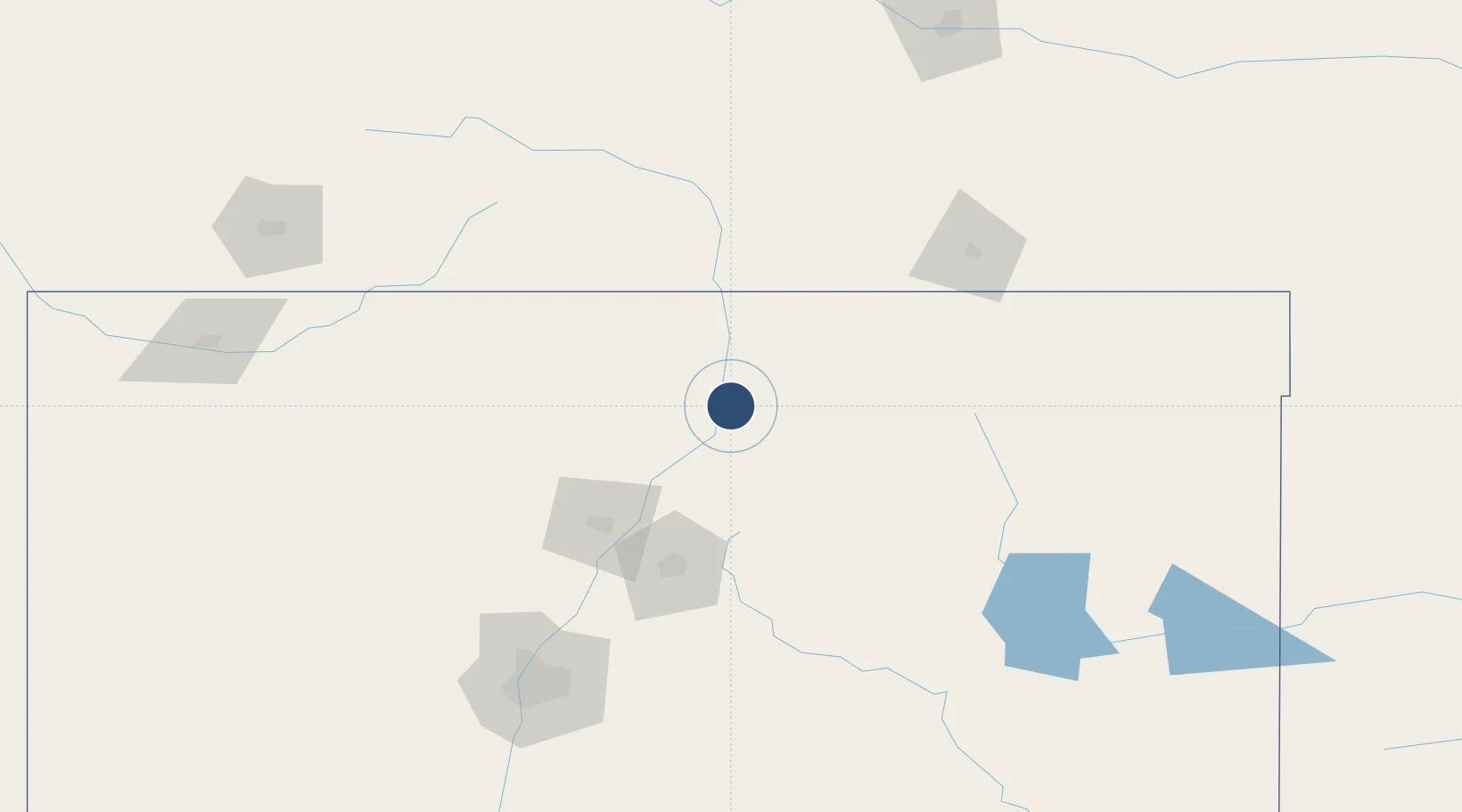
36.4525°, -105.6775°
5,504 ft
Longest runway
1
Runways
7,095 ft
Elevation

Runway & Layout

Taos Regional Airport runway & taxiway layout
Runway & taxiway layout — OpenStreetMap (ODbL) / OurAirports

Radio Frequencies

AWOS
132.975 MHz
AWOS 3
RDO
122.25 MHz
ALBUQUERQUE RDO
UNIC
122.8 MHz
CTAF/UNICOM
OurAirports

Runways · 1

RunwayDimensions SurfaceTrue headingLit
04/22 5,504 × 75ft Asphalt 056°
OurAirports

Airport Specifications

IATA code
TSM
OurAirports
ICAO code
KSKX
OurAirports
Airport class
Medium airport
OurAirports
Scheduled service
Yes
OurAirports
Runway surface
Asphalt
OurAirports
Served city
Taos
OurAirports

Location

Location of KSKX
Natural Earth 10m (public domain) · New Mexico · KSKX · 36.45, -105.68GoogleOSMYandex

Nearby Logistics Neighbours

Airports
  1. 1Santa Fe Municipal Airport100 km
  2. 2Las Vegas Municipal Airport101 km
  3. 3San Luis Valley Regional Airport/Bergman Field111 km
  4. 4Double Eagle II Airport177 km
  5. 5Albuquerque International Sunport178 km
Nearest neighbours — logibook spatial index (haversine) over the source coordinates
Cities
  1. 1Ranchos de Taos13 km
  2. 2Alcade53 km
  3. 3Chimayo55 km
  4. 4San Juan Pueblo57 km
  5. 5San Acacio84 km
Nearest neighbours — logibook spatial index (haversine) over the source coordinates
Ports
  1. 1Guaymas1069 km
  2. 2Santa Rosalia1190 km
  3. 3Isla San Marcos1195 km
  4. 4Port Lavaca1216 km
  5. 5Deer Park1217 km
Nearest neighbours — logibook spatial index (haversine) over the source coordinates
Trade Zones
  1. 1FTZ No. 110 Albuquerque184 km
  2. 2FTZ No. 112 Colorado Springs275 km
  3. 3FTZ No. 293 Limon358 km
  4. 4FTZ No. 298 Jefferson County369 km
  5. 5FTZ No. 252 Amarillo370 km
Nearest neighbours — logibook spatial index (haversine) over the source coordinates
DatabookThe Record of Consolidated Knowledge
United States beyond logistics?
Browse databook

All Sources

AirportsOurAirports
Public domain
Portsthe NGA World Port Index
Public domain (US gov)
LocationsUN/LOCODE
UN/LOCODE — free
Trade Zonesthe World Bank SEZ database
CC BY 4.0
Trade ZonesOpen Zone Map
CC BY
InfrastructureOpenStreetMap
ODbL 1.0
← United States airports