Medium airport · United States

San Luis Valley Regional Airport/Bergman FieldKALS

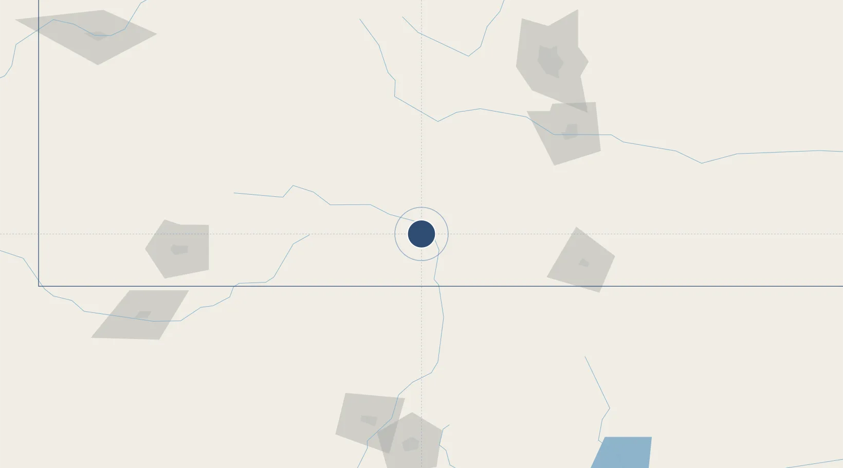
37.4349°, -105.8670°
8,521 ft
Longest runway
1
Runways
7,539 ft
Elevation

Runway & Layout

San Luis Valley Regional Airport/Bergman Field runway & taxiway layout
Runway & taxiway layout — OpenStreetMap (ODbL) / OurAirports

Radio Frequencies

ASOS
135.175 MHz
CNTR
128.375 MHz
DENVER CNTR
RDO
122.15 MHz
DENVER RDO
UNIC
122.8 MHz
CTAF/UNICOM
OurAirports

Runways · 1

RunwayDimensions SurfaceTrue headingLit
02/20 8,521 × 100ft Asphalt 032°
OurAirports

Airport Specifications

IATA code
ALS
OurAirports
ICAO code
KALS
OurAirports
Airport class
Medium airport
OurAirports
Scheduled service
Yes
OurAirports
Runway surface
Asphalt
OurAirports
Served city
Alamosa
OurAirports

Location

Location of KALS
Natural Earth 10m (public domain) · Colorado · KALS · 37.43, -105.87GoogleOSMYandex

Nearby Logistics Neighbours

Airports
  1. 1Taos Regional Airport111 km
  2. 2Pueblo Memorial Airport153 km
  3. 3Gunnison Crested Butte Regional Airport154 km
  4. 4Butts AAF (Fort Carson) Air Field169 km
  5. 5Durango La Plata County Airport170 km
Nearest neighbours — logibook spatial index (haversine) over the source coordinates
Cities
  1. 1Monte Vista30 km
  2. 2Blanca31 km
  3. 3San Acacio38 km
  4. 4Center41 km
  5. 5Del Norte53 km
Nearest neighbours — logibook spatial index (haversine) over the source coordinates
Ports
  1. 1Guaymas1159 km
  2. 2Santa Rosalia1274 km
  3. 3Isla San Marcos1281 km
  4. 4Deer Park1295 km
  5. 5Houston1299 km
Nearest neighbours — logibook spatial index (haversine) over the source coordinates
Trade Zones
  1. 1FTZ No. 112 Colorado Springs180 km
  2. 2FTZ No. 298 Jefferson County264 km
  3. 3FTZ No. 123 Denver268 km
  4. 4FTZ No. 110 Albuquerque275 km
  5. 5FTZ No. 293 Limon278 km
Nearest neighbours — logibook spatial index (haversine) over the source coordinates
DatabookThe Record of Consolidated Knowledge
United States beyond logistics?
Browse databook

All Sources

AirportsOurAirports
Public domain
Portsthe NGA World Port Index
Public domain (US gov)
LocationsUN/LOCODE
UN/LOCODE — free
Trade Zonesthe World Bank SEZ database
CC BY 4.0
Trade ZonesOpen Zone Map
CC BY
InfrastructureOpenStreetMap
ODbL 1.0
← United States airports