Medium airport · United States
Four Corners Regional AirportKFMN
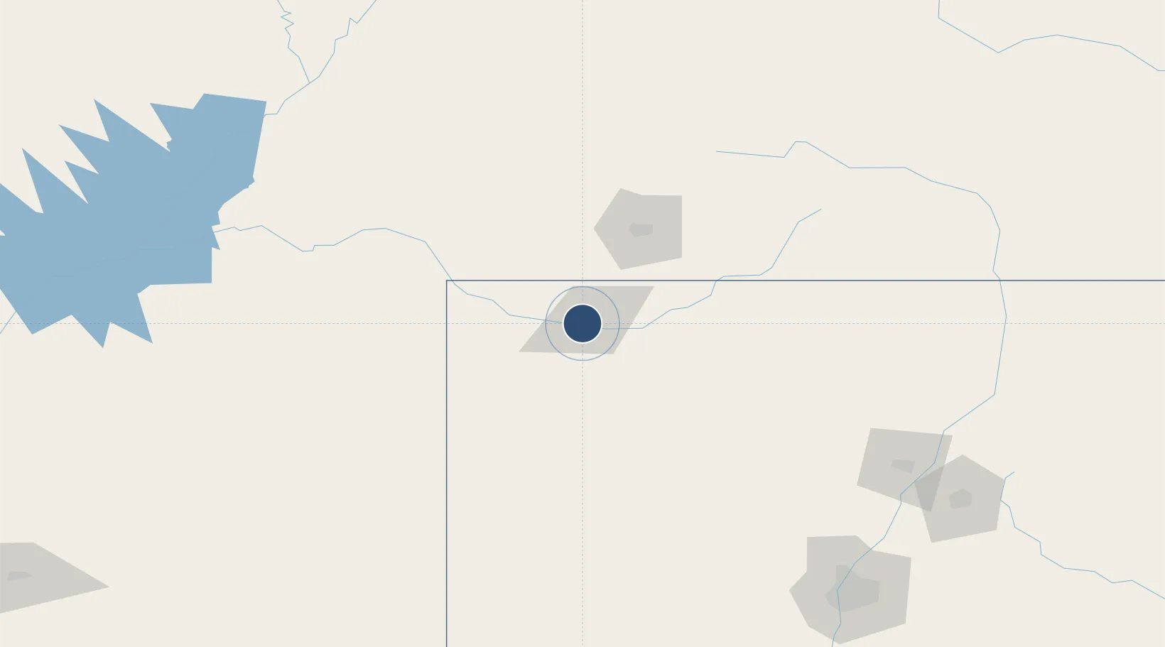
36.7412°, -108.2300°
6,704 ft
Longest runway
2
Runways
5,506 ft
Elevation
Runway & Layout

Radio Frequencies
ATIS
127.15 MHz
TWR
118.9 MHz
FARMINGTON TWR
GND
121.7 MHz
CTAF
118.9 MHz
CNTR
118.575 MHz
DENVER CNTR
RDO
122.4 MHz
ALBUQUERQUE RDO
UNIC
122.95 MHz
UNICOM
Navaids
RSK VORTAC Rattlesnake 115.30 MHz
Runways · 2
| Runway | Dimensions | Surface | True heading | Lit |
|---|---|---|---|---|
| 07/25 | 6,704 × 100ft | Asphalt | 088° | ✓ |
| 05/23 | 6,501 × 150ft | Asphalt | 065° | ✓ |
Airport Specifications
IATA code
FMN
ICAO code
KFMN
Airport class
Medium airport
Scheduled service
No
Runway surface
Asphalt
Served city
Farmington
Location
Nearby Logistics Neighbours
Airports
- 1Durango La Plata County Airport62 km
- 2Cortez Municipal Airport72 km
- 3Telluride Regional Airport138 km
- 4Gallup Municipal Airport146 km
- 5Montrose Regional Airport199 km
Ports
- 1San Diego932 km
- 2Ensenada943 km
- 3Newport Beach945 km
- 4Rosarito946 km
- 5Long Beach962 km
Trade Zones
- 1FTZ No. 110 Albuquerque224 km
- 2FTZ No. 112 Colorado Springs379 km
- 3FTZ No. 298 Jefferson County428 km
- 4FTZ No. 123 Denver437 km
- 5FTZ No. 293 Limon487 km
DatabookThe Record of Consolidated Knowledge
United States beyond logistics?