Transport Functions
Rail
Road
Hub Profile
Place type
Populated place
Region
California
Time zone
America/Los_Angeles
Elevation
811 m
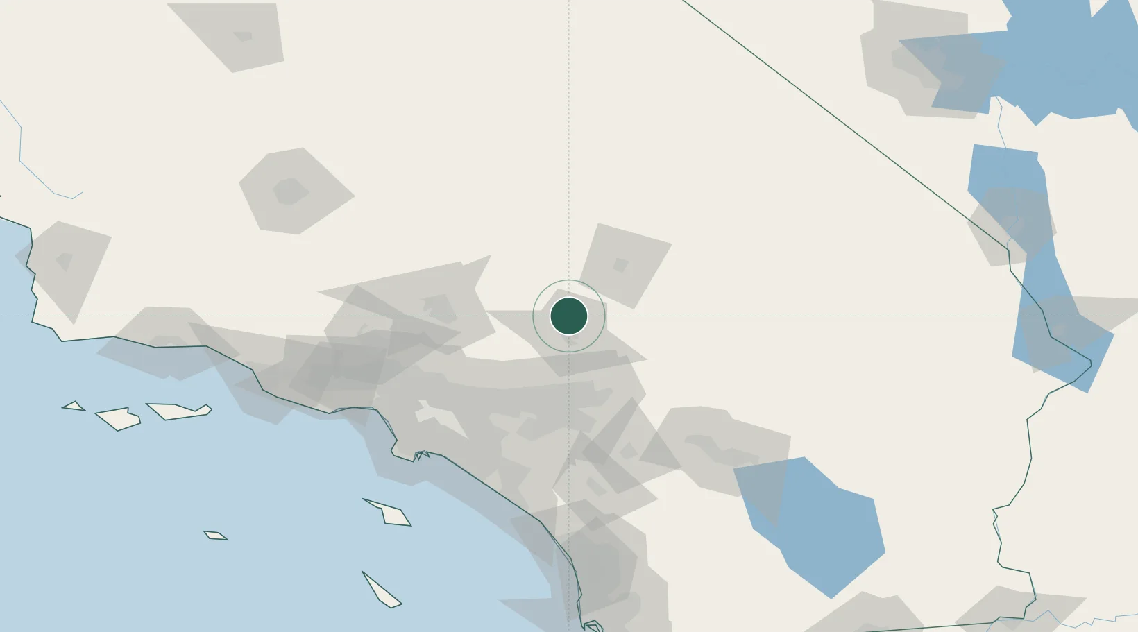
Location
Nearby Logistics Neighbours
Cities
- 1Lake Arrowhead41 km
- 2Llano46 km
- 3Ladera Ranch48 km
- 4Fawnskin52 km
- 5Etiwanda56 km
Ports
- 1Newport Beach121 km
- 2Long Beach121 km
- 3El Segundo127 km
- 4Los Angeles127 km
- 5Avalon166 km
Airports
Trade Zones
- 1FTZ No. 243 Victorville4 km
- 2FTZ No. 191 Palmdale72 km
- 3FTZ No. 244 Riverside County77 km
- 4FTZ No. 050 Long Beach115 km
- 5FTZ No. 236 Palm Springs115 km
DatabookThe Record of Consolidated Knowledge
United States beyond logistics?