Transport Functions
Port
Multimodal
Hub Profile
Place type
Urban district
Region
California
Time zone
America/Los_Angeles
Elevation
408 m
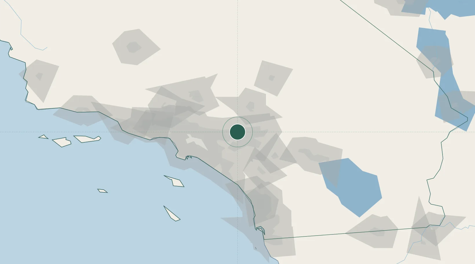
Location
Nearby Logistics Neighbours
Cities
- 1Alta Loma6 km
- 2Kaiser7 km
- 3Bloomington12 km
- 4Ladera Ranch18 km
- 5Rubidoux18 km
Ports
- 1Newport Beach66 km
- 2Long Beach73 km
- 3Los Angeles79 km
- 4El Segundo87 km
- 5Avalon113 km
Airports
Trade Zones
- 1FTZ No. 244 Riverside County31 km
- 2FTZ No. 243 Victorville54 km
- 3FTZ No. 050 Long Beach67 km
- 4FTZ No. 191 Palmdale75 km
- 5FTZ No. 202 Los Angeles82 km
DatabookThe Record of Consolidated Knowledge
United States beyond logistics?