UN/LOCODE hub · United States
USXXL
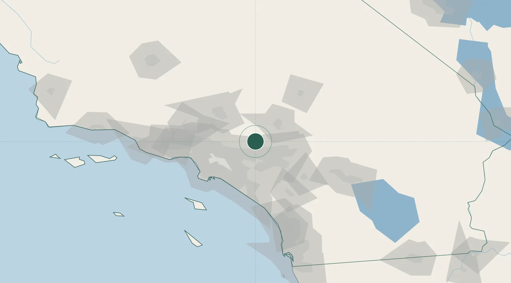
Ladera Ranch
34.2500°, -117.6333°
22,980
Population
1
Transport functions
Transport Functions
Port
Hub Profile
Place type
Populated place
Region
California
Population
22,980
Time zone
America/Los_Angeles
Elevation
168 m
Location
Nearby Logistics Neighbours
Cities
- 1Alta Loma16 km
- 2Etiwanda18 km
- 3Kaiser25 km
- 4Bloomington30 km
- 5Llano33 km
Ports
- 1Long Beach74 km
- 2Newport Beach75 km
- 3Los Angeles80 km
- 4El Segundo83 km
- 5Avalon118 km
Airports
Trade Zones
- 1FTZ No. 243 Victorville44 km
- 2FTZ No. 244 Riverside County49 km
- 3FTZ No. 191 Palmdale57 km
- 4FTZ No. 050 Long Beach67 km
- 5FTZ No. 202 Los Angeles82 km
DatabookThe Record of Consolidated Knowledge
United States beyond logistics?