Medium airport · United States

Barstow Daggett AirportKDAG

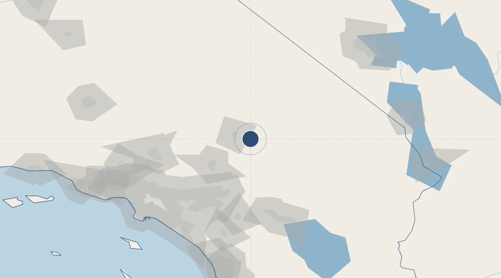
34.8537°, -116.7870°
6,402 ft
Longest runway
2
Runways
1,930 ft
Elevation

Runway & Layout

Barstow Daggett Airport runway & taxiway layout
Runway & taxiway layout — OpenStreetMap (ODbL) / OurAirports

Radio Frequencies

ASOS
132.175 MHz
CNTR
132.5 MHz
LOS ANGELES CNTR
MISC
46.7 MHz
HAWK 86
RDO
122.2 MHz
RIVERSIDE RDO
UNIC
123 MHz
CTAF/UNICOM
OurAirports

Runways · 2

RunwayDimensions SurfaceTrue headingLit
08/26 6,402 × 150ft Asphalt 090°
04/22 5,123 × 100ft Asphalt 050°
OurAirports

Airport Specifications

IATA code
DAG
OurAirports
ICAO code
KDAG
OurAirports
Airport class
Medium airport
OurAirports
Scheduled service
No
OurAirports
Runway surface
Asphalt
OurAirports
Served city
Daggett
OurAirports

Location

Location of KDAG
Natural Earth 10m (public domain) · California · KDAG · 34.85, -116.79GoogleOSMYandex

Nearby Logistics Neighbours

Airports
  1. 1Bicycle Lake Army Air Field50 km
  2. 2Twentynine Palms Strategic Expeditionary Landing Field84 km
  3. 3San Bernardino International Airport94 km
  4. 4Edwards Air Force Base101 km
  5. 5Ontario International Airport116 km
Nearest neighbours — logibook spatial index (haversine) over the source coordinates
Cities
  1. 1Oro Grande57 km
  2. 2Fawnskin67 km
  3. 3Lake Arrowhead76 km
  4. 4Boron86 km
  5. 5Loma Linda99 km
Nearest neighbours — logibook spatial index (haversine) over the source coordinates
Ports
  1. 1Newport Beach171 km
  2. 2Long Beach176 km
  3. 3Los Angeles182 km
  4. 4El Segundo184 km
  5. 5Avalon219 km
Nearest neighbours — logibook spatial index (haversine) over the source coordinates
Trade Zones
  1. 1FTZ No. 243 Victorville61 km
  2. 2FTZ No. 244 Riverside County115 km
  3. 3FTZ No. 236 Palm Springs117 km
  4. 4FTZ No. 191 Palmdale125 km
  5. 5FTZ No. 089 Clark County135 km
Nearest neighbours — logibook spatial index (haversine) over the source coordinates
DatabookThe Record of Consolidated Knowledge
United States beyond logistics?
Browse databook

All Sources

AirportsOurAirports
Public domain
Portsthe NGA World Port Index
Public domain (US gov)
LocationsUN/LOCODE
UN/LOCODE — free
Trade Zonesthe World Bank SEZ database
CC BY 4.0
Trade ZonesOpen Zone Map
CC BY
InfrastructureOpenStreetMap
ODbL 1.0
← United States airports