UN/LOCODE hub · United States
USLA2
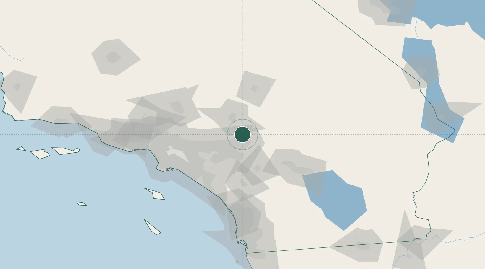
Lake Arrowhead
34.2500°, -117.1833°
12,424
Population
3
Transport functions
Transport Functions
Port
Road
Multimodal
Hub Profile
Place type
Populated place
Region
California
Population
12,424
Time zone
America/Los_Angeles
Elevation
1,577 m
Location
Nearby Logistics Neighbours
Cities
- 1Fawnskin23 km
- 2Loma Linda23 km
- 3Grand Terrace26 km
- 4Bloomington29 km
- 5Etiwanda34 km
Ports
- 1Newport Beach97 km
- 2Long Beach107 km
- 3Los Angeles113 km
- 4El Segundo121 km
- 5Avalon145 km
Airports
Trade Zones
- 1FTZ No. 244 Riverside County39 km
- 2FTZ No. 243 Victorville41 km
- 3FTZ No. 236 Palm Springs78 km
- 4FTZ No. 191 Palmdale93 km
- 5FTZ No. 050 Long Beach101 km
DatabookThe Record of Consolidated Knowledge
United States beyond logistics?