Large airport · United States

Ontario International AirportKONT

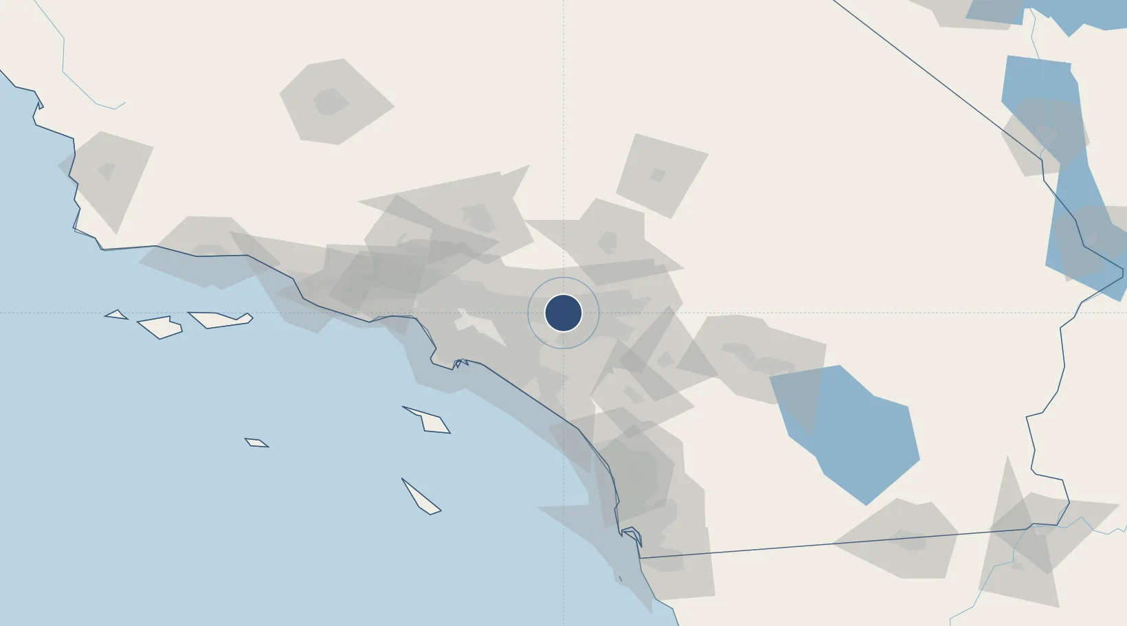
34.0560°, -117.6010°
12,197 ft
Longest runway
2
Runways
944 ft
Elevation

Runway & Layout

Ontario International Airport runway & taxiway layout
Runway & taxiway layout — OpenStreetMap (ODbL) / OurAirports

Radio Frequencies

ATIS
124.25 MHz
TWR
120.6 MHz
GND
121.9 MHz
CLD
118.1 MHz
CLNC DEL
A/D
119.65 MHz
SOCAL APP/DEP
OurAirports

Navaids

SB NDB Petis 397 kHz
OurAirports

Runways · 2

RunwayDimensions SurfaceTrue headingLit
08L/26R 12,197 × 150ft Concrete 090°
08R/26L 10,200 × 150ft Concrete 090°
OurAirports

Airport Specifications

IATA code
ONT
OurAirports
ICAO code
KONT
OurAirports
Airport class
Large airport
OurAirports
Scheduled service
Yes
OurAirports
Runway surface
Concrete
OurAirports
Served city
Ontario
OurAirports

Location

Location of KONT
Natural Earth 10m (public domain) · California · KONT · 34.06, -117.60GoogleOSMYandex

Nearby Logistics Neighbours

Airports
  1. 1Riverside Municipal Airport19 km
  2. 2San Bernardino International Airport34 km
  3. 3March Air Reserve Base37 km
  4. 4John Wayne Orange County International Airport49 km
  5. 5Los Alamitos Army Air Field51 km
Nearest neighbours — logibook spatial index (haversine) over the source coordinates
Cities
  1. 1Alta Loma7 km
  2. 2Kaiser8 km
  3. 3Etiwanda10 km
  4. 4Eastvale13 km
  5. 5Bloomington19 km
Nearest neighbours — logibook spatial index (haversine) over the source coordinates
Ports
  1. 1Newport Beach56 km
  2. 2Long Beach63 km
  3. 3Los Angeles69 km
  4. 4El Segundo78 km
  5. 5Avalon103 km
Nearest neighbours — logibook spatial index (haversine) over the source coordinates
Trade Zones
  1. 1FTZ No. 244 Riverside County33 km
  2. 2FTZ No. 050 Long Beach56 km
  3. 3FTZ No. 243 Victorville63 km
  4. 4FTZ No. 202 Los Angeles72 km
  5. 5FTZ No. 191 Palmdale75 km
Nearest neighbours — logibook spatial index (haversine) over the source coordinates
DatabookThe Record of Consolidated Knowledge
United States beyond logistics?
Browse databook

All Sources

AirportsOurAirports
Public domain
Portsthe NGA World Port Index
Public domain (US gov)
LocationsUN/LOCODE
UN/LOCODE — free
Trade Zonesthe World Bank SEZ database
CC BY 4.0
Trade ZonesOpen Zone Map
CC BY
InfrastructureOpenStreetMap
ODbL 1.0
← United States airports