UN/LOCODE hub · United States
USOCK
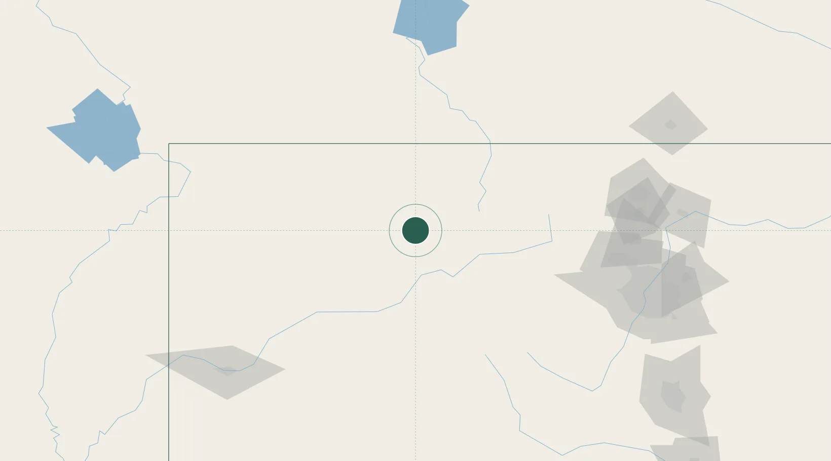
Oak Creek
40.2667°, -106.9667°
890
Population
3
Transport functions
Transport Functions
Rail
Road
Multimodal
Hub Profile
Place type
Populated place
Region
Colorado
Population
890
Time zone
America/Denver
Elevation
2,264 m
Location
Nearby Logistics Neighbours
Cities
- 1Gypsum69 km
- 2Eagle70 km
- 3Edwards75 km
- 4Avon80 km
- 5Carbondale97 km
Ports
- 1Newport Beach1219 km
- 2Long Beach1229 km
- 3Los Angeles1235 km
- 4El Segundo1237 km
- 5San Diego1239 km
Airports
Trade Zones
- 1FTZ No. 298 Jefferson County165 km
- 2FTZ No. 123 Denver178 km
- 3FTZ No. 112 Colorado Springs243 km
- 4FTZ No. 293 Limon302 km
- 5FTZ No. 030 Salt Lake City428 km
DatabookThe Record of Consolidated Knowledge
United States beyond logistics?