Medium airport · United States

Laramie Regional AirportKLAR

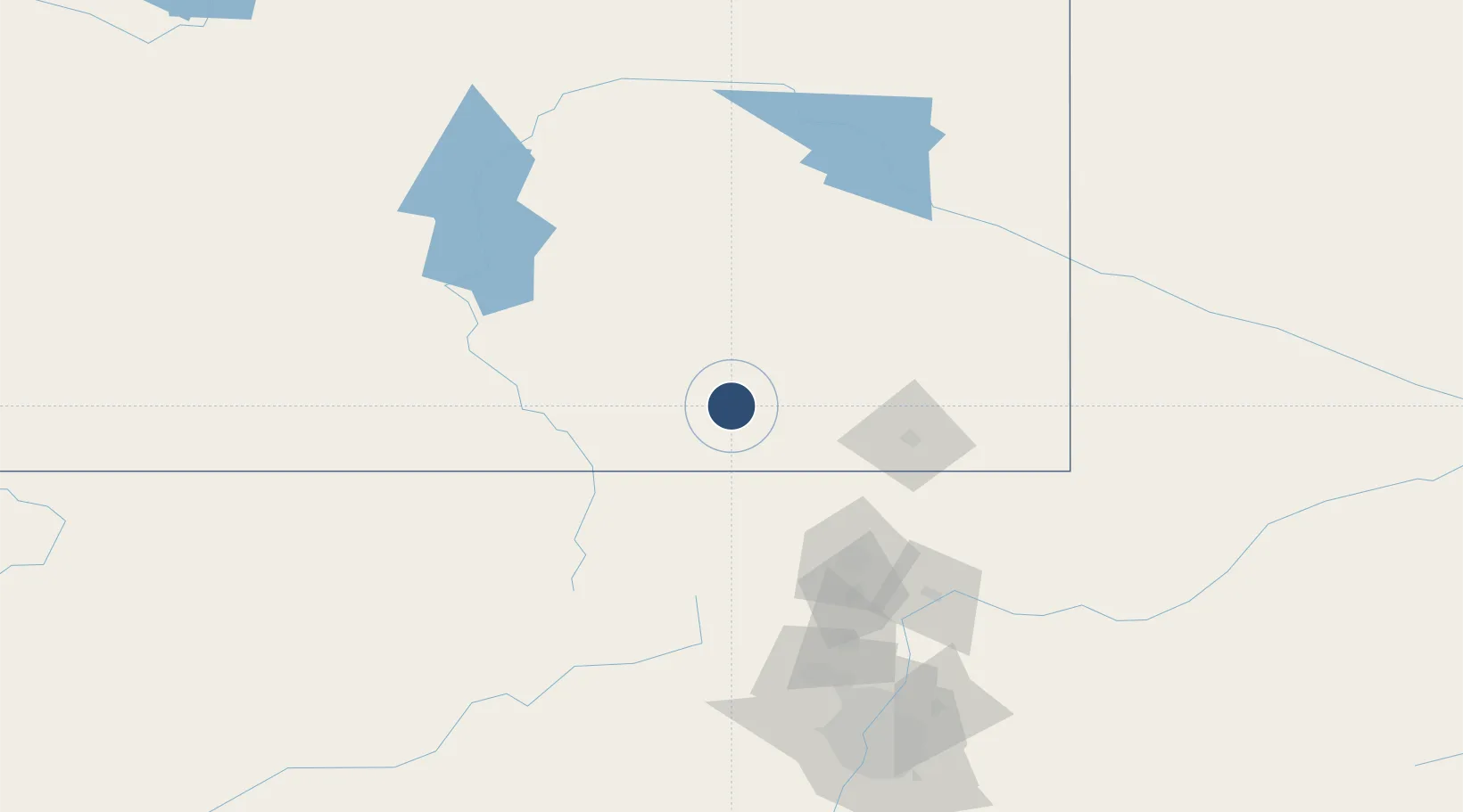
41.3121°, -105.6750°
8,503 ft
Longest runway
2
Runways
7,284 ft
Elevation

Runway & Layout

Laramie Regional Airport runway & taxiway layout
Runway & taxiway layout — OpenStreetMap (ODbL) / OurAirports

Radio Frequencies

ASOS
135.475 MHz
CNTR
125.9 MHz
DENVER CNTR
RDO
122.6 MHz
CASPER RDO
UNIC
123.05 MHz
CTAF/UNICOM
OurAirports

Navaids

LAR VORTAC Laramie 117.60 MHz
OurAirports

Runways · 2

RunwayDimensions SurfaceTrue headingLit
03/21 8,503 × 150ft Asphalt 046°
12/30 6,301 × 100ft Asphalt 135°
OurAirports

Airport Specifications

IATA code
LAR
OurAirports
ICAO code
KLAR
OurAirports
Airport class
Medium airport
OurAirports
Scheduled service
Yes
OurAirports
Runway surface
Asphalt
OurAirports
Served city
Laramie
OurAirports

Location

Location of KLAR
Natural Earth 10m (public domain) · Wyoming · KLAR · 41.31, -105.68GoogleOSMYandex

Nearby Logistics Neighbours

Airports
  1. 1Cheyenne Regional Jerry Olson Field74 km
  2. 2Northern Colorado Regional Airport111 km
  3. 3Rawlins Municipal Airport/Harvey Field138 km
  4. 4Yampa Valley Airport159 km
  5. 5Rocky Mountain Metropolitan Airport163 km
Nearest neighbours — logibook spatial index (haversine) over the source coordinates
Cities
  1. 1Albany41 km
  2. 2Red Feather Lakes58 km
  3. 3Laporte76 km
  4. 4Medicine Bow79 km
  5. 5Berthoud123 km
Nearest neighbours — logibook spatial index (haversine) over the source coordinates
Ports
  1. 1Duluth1241 km
  2. 2Superior1242 km
  3. 3Newport Beach1375 km
  4. 4San Diego1397 km
  5. 5Rosarito1420 km
Nearest neighbours — logibook spatial index (haversine) over the source coordinates
Trade Zones
  1. 1FTZ No. 298 Jefferson County180 km
  2. 2FTZ No. 123 Denver184 km
  3. 3FTZ No. 293 Limon284 km
  4. 4FTZ No. 112 Colorado Springs285 km
  5. 5FTZ No. 030 Salt Lake City533 km
Nearest neighbours — logibook spatial index (haversine) over the source coordinates
DatabookThe Record of Consolidated Knowledge
United States beyond logistics?
Browse databook

All Sources

AirportsOurAirports
Public domain
Portsthe NGA World Port Index
Public domain (US gov)
LocationsUN/LOCODE
UN/LOCODE — free
Trade Zonesthe World Bank SEZ database
CC BY 4.0
Trade ZonesOpen Zone Map
CC BY
InfrastructureOpenStreetMap
ODbL 1.0
← United States airports