Medium airport · United States

Yampa Valley AirportKHDN

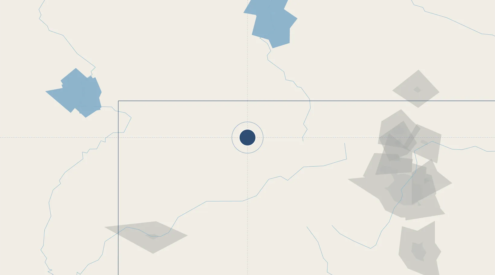
40.4812°, -107.2180°
10,000 ft
Longest runway
1
Runways
6,606 ft
Elevation

Runway & Layout

Yampa Valley Airport runway & taxiway layout
Runway & taxiway layout — OpenStreetMap (ODbL) / OurAirports

Radio Frequencies

AWOS
119.275 MHz
AWOS 3
CNTR
120.475 MHz
DENVER CNTR
RDO
122.25 MHz
DENVER RDO
UNIC
123 MHz
CTAF/UNICOM
OurAirports

Runways · 1

RunwayDimensions SurfaceTrue headingLit
10/28 10,000 × 150ft Asphalt 114°
OurAirports

Airport Specifications

IATA code
HDN
OurAirports
ICAO code
KHDN
OurAirports
Airport class
Medium airport
OurAirports
Scheduled service
Yes
OurAirports
Runway surface
Asphalt
OurAirports
Served city
Hayden
OurAirports

Location

Location of KHDN
Natural Earth 10m (public domain) · Colorado · KHDN · 40.48, -107.22GoogleOSMYandex

Nearby Logistics Neighbours

Airports
  1. 1Eagle County Regional Airport97 km
  2. 2Garfield County Regional Airport115 km
  3. 3Aspen-Pitkin County Airport (Sardy Field)143 km
  4. 4Rawlins Municipal Airport/Harvey Field147 km
  5. 5Laramie Regional Airport159 km
Nearest neighbours — logibook spatial index (haversine) over the source coordinates
Cities
  1. 1Oak Creek32 km
  2. 2Gypsum95 km
  3. 3Eagle99 km
  4. 4Edwards106 km
  5. 5Avon112 km
Nearest neighbours — logibook spatial index (haversine) over the source coordinates
Ports
  1. 1Newport Beach1216 km
  2. 2Long Beach1224 km
  3. 3Los Angeles1230 km
  4. 4El Segundo1231 km
  5. 5San Diego1238 km
Nearest neighbours — logibook spatial index (haversine) over the source coordinates
Trade Zones
  1. 1FTZ No. 298 Jefferson County194 km
  2. 2FTZ No. 123 Denver207 km
  3. 3FTZ No. 112 Colorado Springs275 km
  4. 4FTZ No. 293 Limon330 km
  5. 5FTZ No. 030 Salt Lake City404 km
Nearest neighbours — logibook spatial index (haversine) over the source coordinates
DatabookThe Record of Consolidated Knowledge
United States beyond logistics?
Browse databook

All Sources

AirportsOurAirports
Public domain
Portsthe NGA World Port Index
Public domain (US gov)
LocationsUN/LOCODE
UN/LOCODE — free
Trade Zonesthe World Bank SEZ database
CC BY 4.0
Trade ZonesOpen Zone Map
CC BY
InfrastructureOpenStreetMap
ODbL 1.0
← United States airports