UN/LOCODE hub · United States
USEG3

Eagle

39.6500°, -106.8167°
6,678
Population
2
Transport functions

Transport Functions

Road
Multimodal
UN/LOCODE

Hub Profile

Place type
Provincial seat
GeoNames
Region
Colorado
GeoNames
Population
6,678
GeoNames
Time zone
America/Denver
GeoNames
Elevation
2,012 m
GeoNames

Location

Location of USEG3
Natural Earth 10m (public domain) · Colorado · USEG3 · 39.65, -106.82GoogleOSMYandex

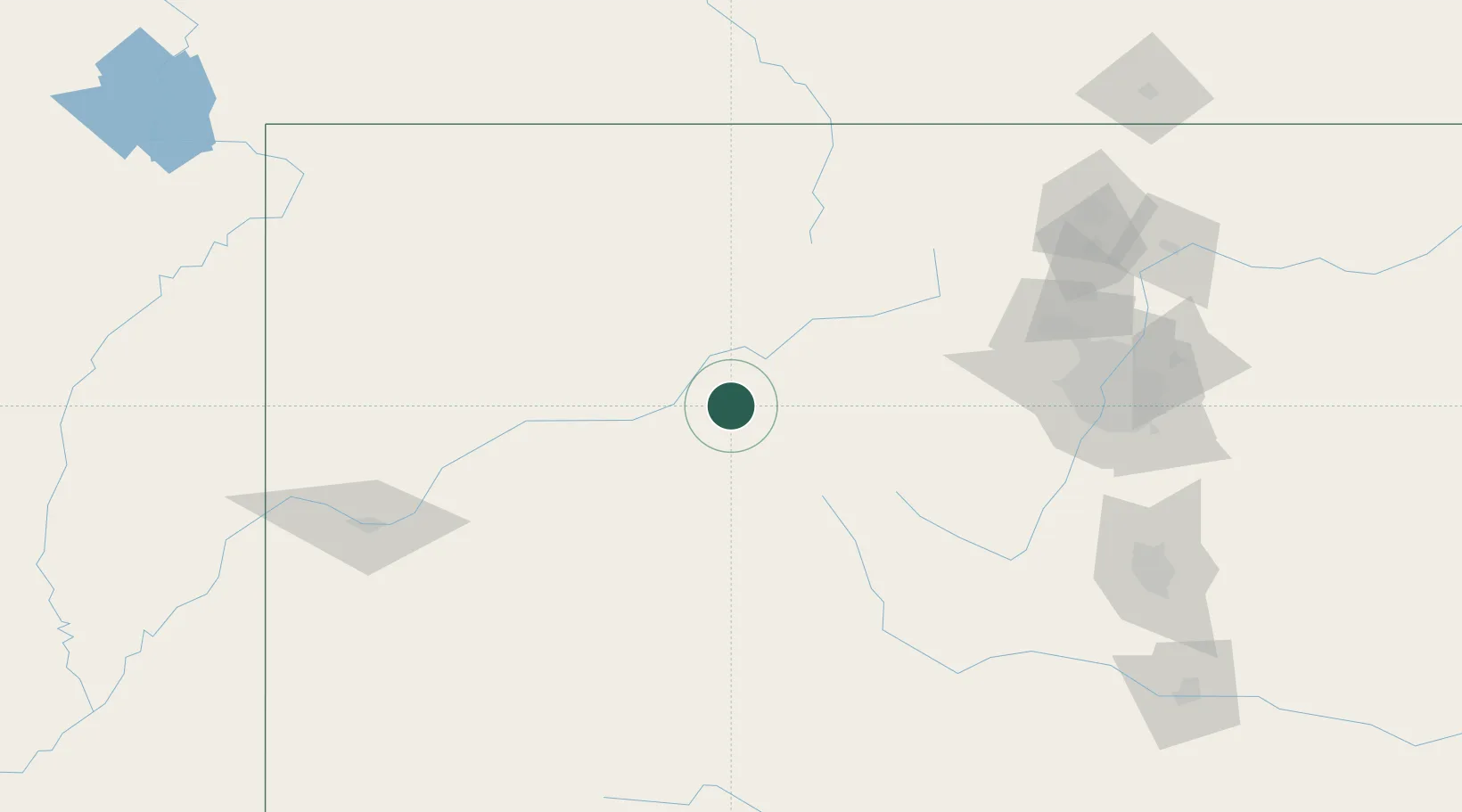
Nearby Logistics Neighbours

Cities
  1. 1Gypsum11 km
  2. 2Edwards19 km
  3. 3Avon26 km
  4. 4Carbondale42 km
  5. 5New Castle43 km
Nearest neighbours — logibook spatial index (haversine) over the source coordinates
Ports
  1. 1Newport Beach1194 km
  2. 2Long Beach1205 km
  3. 3San Diego1207 km
  4. 4Los Angeles1211 km
  5. 5El Segundo1214 km
Nearest neighbours — logibook spatial index (haversine) over the source coordinates
Airports
  1. 1Eagle County Regional Airport9 km
  2. 2Aspen-Pitkin County Airport (Sardy Field)48 km
  3. 3Garfield County Regional Airport79 km
  4. 4Yampa Valley Airport99 km
  5. 5Gunnison Crested Butte Regional Airport124 km
Nearest neighbours — logibook spatial index (haversine) over the source coordinates
Trade Zones
  1. 1FTZ No. 298 Jefferson County143 km
  2. 2FTZ No. 123 Denver157 km
  3. 3FTZ No. 112 Colorado Springs194 km
  4. 4FTZ No. 293 Limon272 km
  5. 5FTZ No. 030 Salt Lake City457 km
Nearest neighbours — logibook spatial index (haversine) over the source coordinates
DatabookThe Record of Consolidated Knowledge
United States beyond logistics?
Browse databook

All Sources

LocationsUN/LOCODE
UN/LOCODE — free
LocationsGeoNames
CC BY 4.0
Portsthe NGA World Port Index
Public domain (US gov)
AirportsOurAirports
Public domain
Trade Zonesthe World Bank SEZ database
CC BY 4.0
Trade ZonesOpen Zone Map
CC BY
← United States locations