UN/LOCODE hub · United States
USZXP
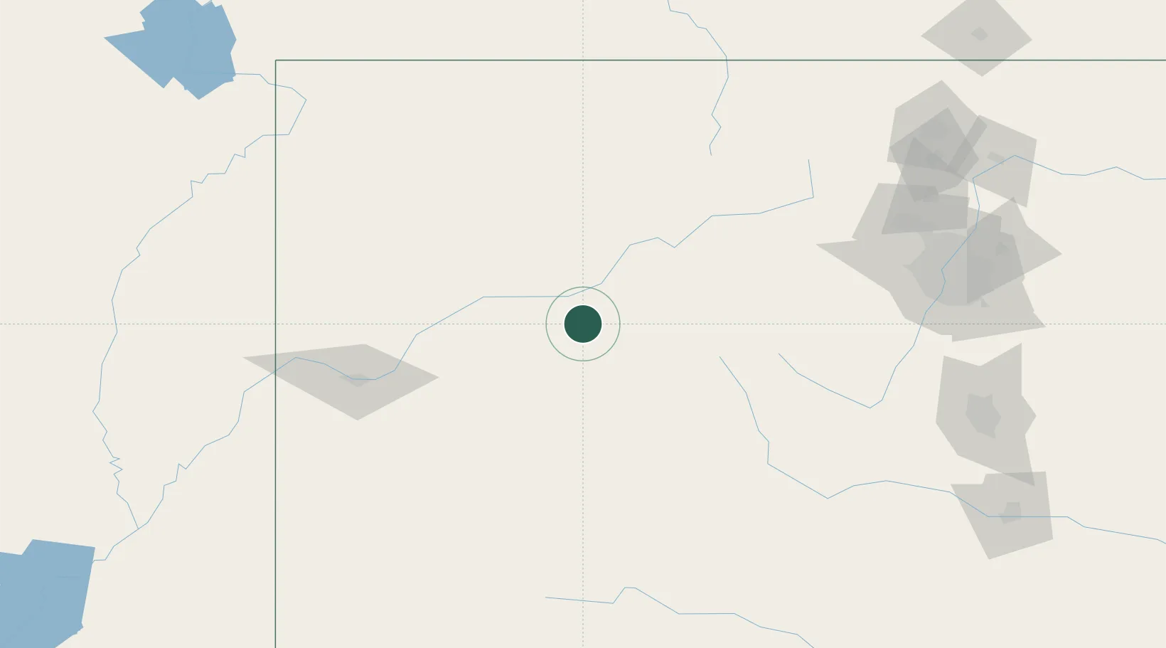
Carbondale
39.4167°, -107.2000°
6,670
Population
1
Transport functions
Transport Functions
Multimodal
Hub Profile
Place type
Populated place
Region
Colorado
Population
6,670
Time zone
America/Denver
Elevation
1,881 m
Location
Nearby Logistics Neighbours
Cities
- 1New Castle7 km
- 2Snowmass Village32 km
- 3Gypsum34 km
- 4Eagle42 km
- 5Edwards58 km
Ports
- 1Newport Beach1152 km
- 2Long Beach1163 km
- 3San Diego1165 km
- 4Los Angeles1169 km
- 5El Segundo1173 km
Airports
Trade Zones
- 1FTZ No. 298 Jefferson County179 km
- 2FTZ No. 123 Denver193 km
- 3FTZ No. 112 Colorado Springs215 km
- 4FTZ No. 293 Limon303 km
- 5FTZ No. 030 Salt Lake City435 km
DatabookThe Record of Consolidated Knowledge
United States beyond logistics?