Medium airport · United States

Garfield County Regional AirportKRIL

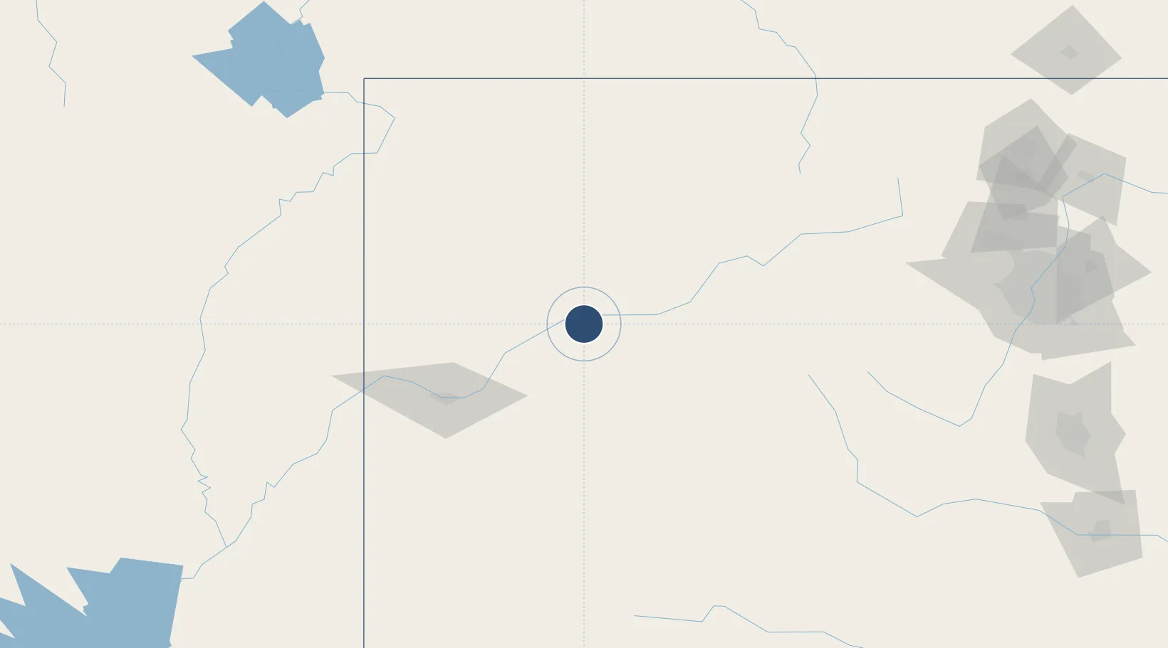
39.5263°, -107.7270°
7,000 ft
Longest runway
1
Runways
5,548 ft
Elevation

Runway & Layout

Garfield County Regional Airport runway & taxiway layout
Runway & taxiway layout — OpenStreetMap (ODbL) / OurAirports

Radio Frequencies

ASOS
135.275 MHz
CNTR
134.5 MHz
DENVER CNTR
UNIC
122.8 MHz
CTAF/UNICOM
OurAirports

Runways · 1

RunwayDimensions SurfaceTrue headingLit
08/26 7,000 × 100ft Asphalt 093°
OurAirports

Airport Specifications

IATA code
RIL
OurAirports
ICAO code
KRIL
OurAirports
Airport class
Medium airport
OurAirports
Scheduled service
No
OurAirports
Runway surface
Asphalt
OurAirports
Served city
Rifle
OurAirports

Location

Location of KRIL
Natural Earth 10m (public domain) · Colorado · KRIL · 39.53, -107.73GoogleOSMYandex

Nearby Logistics Neighbours

Airports
  1. 1Eagle County Regional Airport71 km
  2. 2Aspen-Pitkin County Airport (Sardy Field)81 km
  3. 3Grand Junction Regional Airport82 km
  4. 4Montrose Regional Airport114 km
  5. 5Yampa Valley Airport115 km
Nearest neighbours — logibook spatial index (haversine) over the source coordinates
Cities
  1. 1Parachute29 km
  2. 2Carbondale47 km
  3. 3New Castle53 km
  4. 4Gypsum68 km
  5. 5Somerset70 km
Nearest neighbours — logibook spatial index (haversine) over the source coordinates
Ports
  1. 1Newport Beach1120 km
  2. 2Long Beach1130 km
  3. 3Los Angeles1136 km
  4. 4San Diego1137 km
  5. 5El Segundo1139 km
Nearest neighbours — logibook spatial index (haversine) over the source coordinates
Trade Zones
  1. 1FTZ No. 298 Jefferson County222 km
  2. 2FTZ No. 123 Denver236 km
  3. 3FTZ No. 112 Colorado Springs262 km
  4. 4FTZ No. 293 Limon348 km
  5. 5FTZ No. 030 Salt Lake City388 km
Nearest neighbours — logibook spatial index (haversine) over the source coordinates
DatabookThe Record of Consolidated Knowledge
United States beyond logistics?
Browse databook

All Sources

AirportsOurAirports
Public domain
Portsthe NGA World Port Index
Public domain (US gov)
LocationsUN/LOCODE
UN/LOCODE — free
Trade Zonesthe World Bank SEZ database
CC BY 4.0
Trade ZonesOpen Zone Map
CC BY
InfrastructureOpenStreetMap
ODbL 1.0
← United States airports