Transport Functions
Port
Rail
Road
Multimodal
Hub Profile
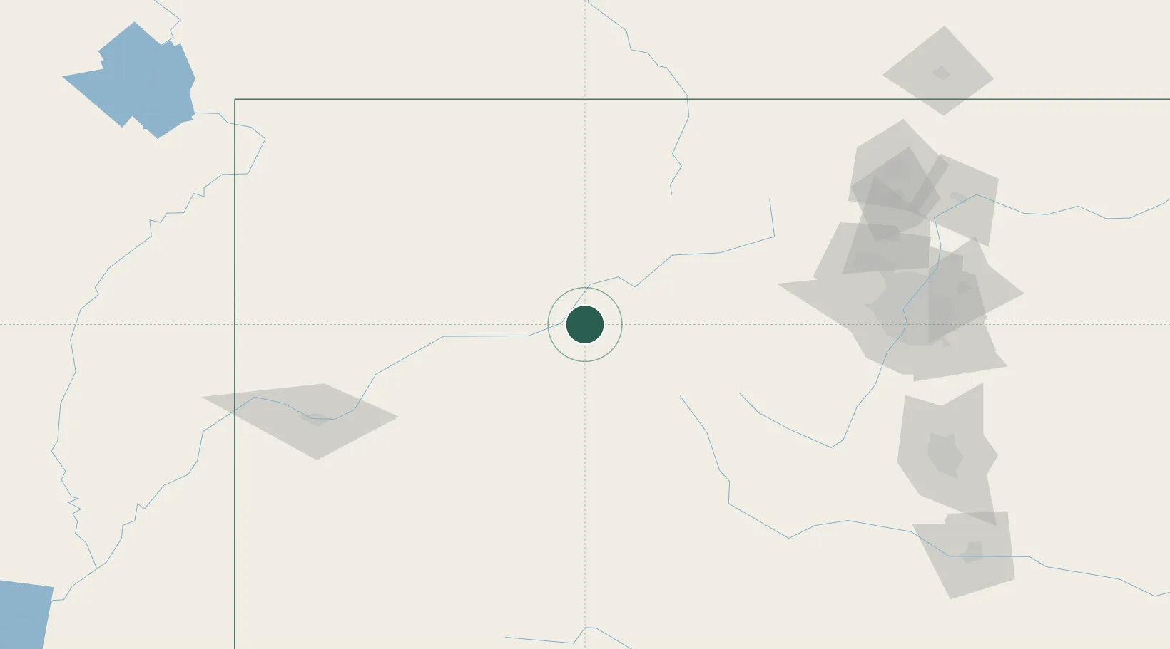
Place type
Populated place
Region
Colorado
Population
6,922
Time zone
America/Denver
Elevation
1,924 m
Location
Nearby Logistics Neighbours
Cities
- 1Eagle11 km
- 2Edwards30 km
- 3Carbondale34 km
- 4New Castle36 km
- 5Avon37 km
Ports
- 1Newport Beach1184 km
- 2Long Beach1195 km
- 3San Diego1198 km
- 4Los Angeles1201 km
- 5El Segundo1204 km
Airports
Trade Zones
- 1FTZ No. 298 Jefferson County154 km
- 2FTZ No. 123 Denver168 km
- 3FTZ No. 112 Colorado Springs205 km
- 4FTZ No. 293 Limon283 km
- 5FTZ No. 030 Salt Lake City446 km
DatabookThe Record of Consolidated Knowledge
United States beyond logistics?