Foreign Trade Zone · United States

FTZ No. 030 Salt Lake City Active

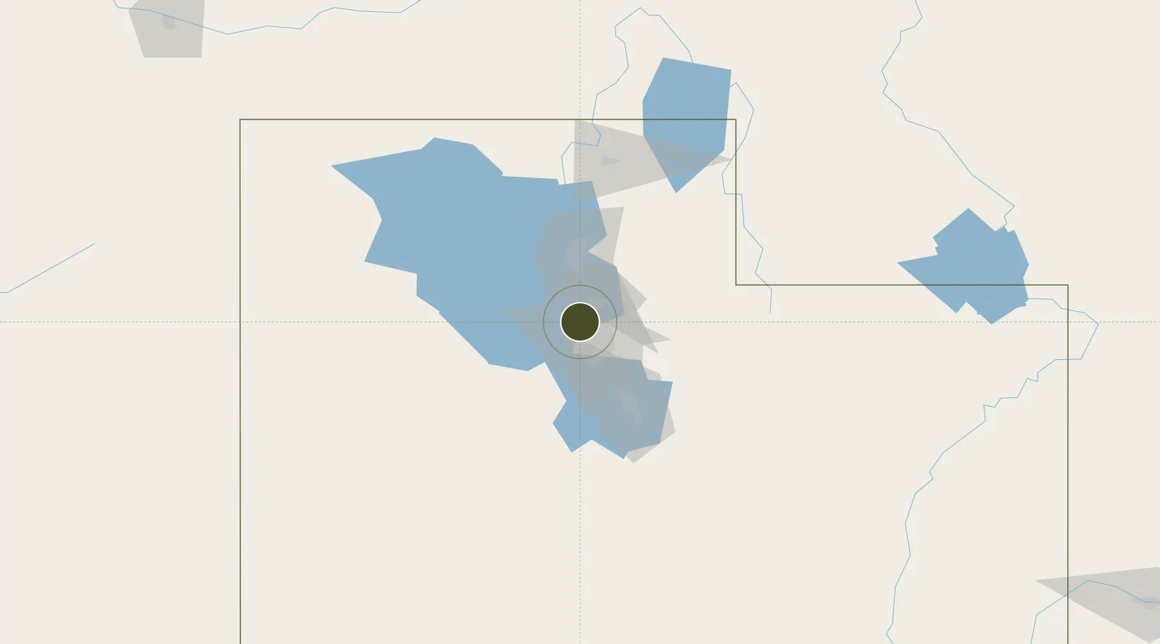
40.7766°, -111.9905°
849.0 km
Nearest port
1.6 km
Nearest airport

Gateway access

Nearest neighbours — logibook spatial index (haversine) over the source coordinates

Zone profile

Zone type
Foreign Trade Zone
Open Zone Map
Region
Utah
Open Zone Map
Status
Active
Open Zone Map
Management
Public
Open Zone Map
Operator
Salt Lake City Corporation
Open Zone Map
Legal framework
Foreign-Trade Zones Act
Open Zone Map

Location

Location of ozm-4871
Natural Earth 10m (public domain) · Utah · ozm-4871 · 40.78, -111.99GoogleOSMYandex

Nearby Logistics Neighbours

Ports
  1. 1Sacramento849 km
  2. 2Stockton859 km
  3. 3Courtland864 km
  4. 4Walnut Grove864 km
  5. 5Isleton874 km
Nearest neighbours — logibook spatial index (haversine) over the source coordinates
Airports
  1. 1Salt Lake City International Airport2 km
  2. 2South Valley Regional Airport18 km
  3. 3Hill Air Force Base39 km
  4. 4Ogden Hinckley Airport47 km
  5. 5Provo Municipal Airport66 km
Nearest neighbours — logibook spatial index (haversine) over the source coordinates
Cities
  1. 1West Valley City9 km
  2. 2South Salt Lake11 km
  3. 3Woods Cross14 km
  4. 4West Jordan18 km
  5. 5Centerville19 km
Nearest neighbours — logibook spatial index (haversine) over the source coordinates
Trade Zones
  1. 1FTZ No. 280 Ada and Canyon Counties516 km
  2. 2FTZ No. 274 Butte-Silver Bow575 km
  3. 3FTZ No. 275 Lansing584 km
  4. 4FTZ No. 298 Jefferson County591 km
  5. 5FTZ No. 123 Denver605 km
Nearest neighbours — logibook spatial index (haversine) over the source coordinates
DatabookThe Record of Consolidated Knowledge
United States beyond logistics?
Browse databook

All Sources

Trade ZonesOpen Zone Map
CC BY
Portsthe NGA World Port Index
Public domain (US gov)
AirportsOurAirports
Public domain
LocationsUN/LOCODE
UN/LOCODE — free
← United States trade zones