Transport Functions
Road
Multimodal
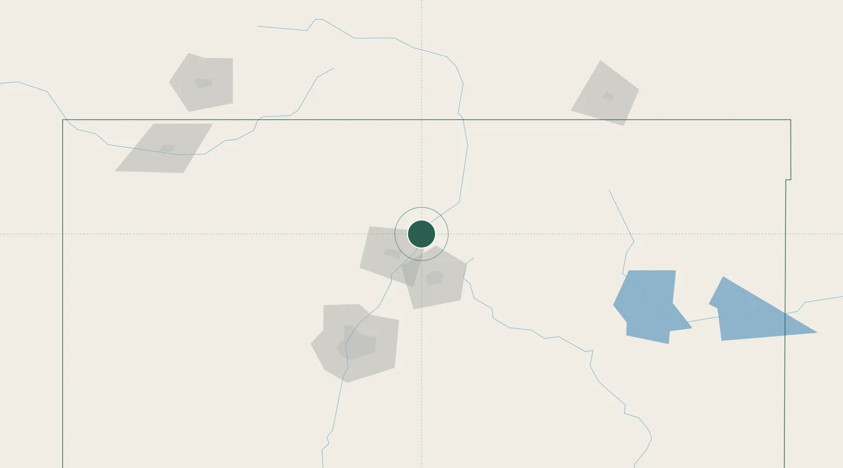
Hub Profile
Place type
Populated place
Region
New Mexico
Time zone
America/Denver
Elevation
1,725 m
Location
Nearby Logistics Neighbours
Cities
- 1Alcade4 km
- 2Chimayo13 km
- 3Ranchos de Taos54 km
- 4Cuba80 km
- 5Bernalillo94 km
Ports
- 1Guaymas1013 km
- 2Ensenada1079 km
- 3San Diego1085 km
- 4Rosarito1093 km
- 5Newport Beach1113 km
Airports
Trade Zones
- 1FTZ No. 110 Albuquerque127 km
- 2FTZ No. 112 Colorado Springs328 km
- 3FTZ No. 252 Amarillo390 km
- 4FTZ No. 293 Limon414 km
- 5FTZ No. 298 Jefferson County418 km
DatabookThe Record of Consolidated Knowledge
United States beyond logistics?