UN/LOCODE hub · United States
USCI6
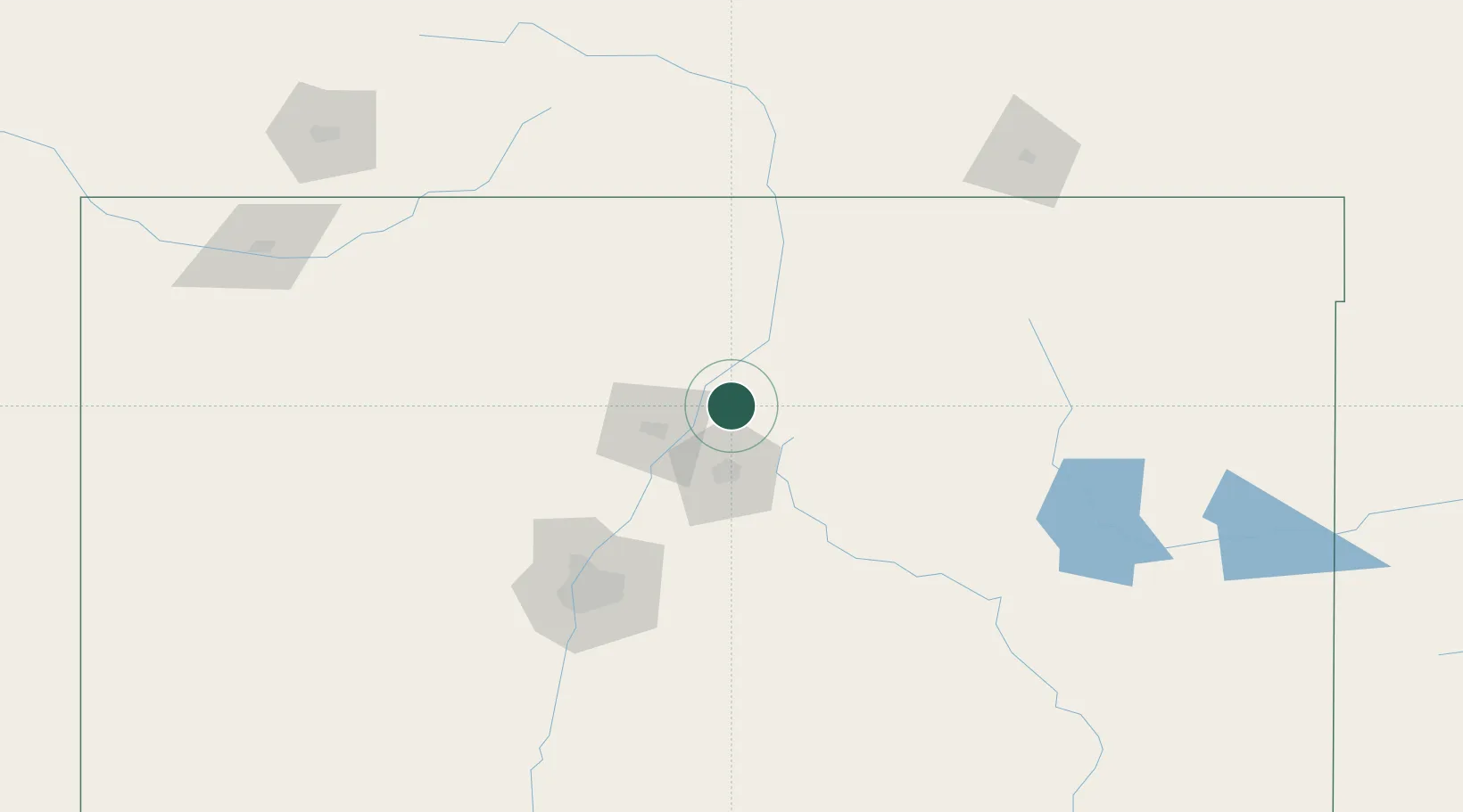
Chimayo
36.0000°, -105.9333°
3,177
Population
1
Transport functions
Transport Functions
Port
Hub Profile
Place type
Populated place
Region
New Mexico
Population
3,177
Time zone
America/Denver
Elevation
1,851 m
Location
Nearby Logistics Neighbours
Cities
- 1San Juan Pueblo13 km
- 2Alcade14 km
- 3Ranchos de Taos49 km
- 4Cuba92 km
- 5Bernalillo96 km
Ports
- 1Guaymas1014 km
- 2Santa Rosalia1135 km
- 3Isla San Marcos1141 km
- 4Port Lavaca1199 km
- 5Deer Park1208 km
Airports
Trade Zones
- 1FTZ No. 110 Albuquerque130 km
- 2FTZ No. 112 Colorado Springs330 km
- 3FTZ No. 252 Amarillo378 km
- 4FTZ No. 293 Limon413 km
- 5FTZ No. 197 Dona Ana County420 km
DatabookThe Record of Consolidated Knowledge
United States beyond logistics?