Medium airport · United States
Las Vegas Municipal AirportKLVS
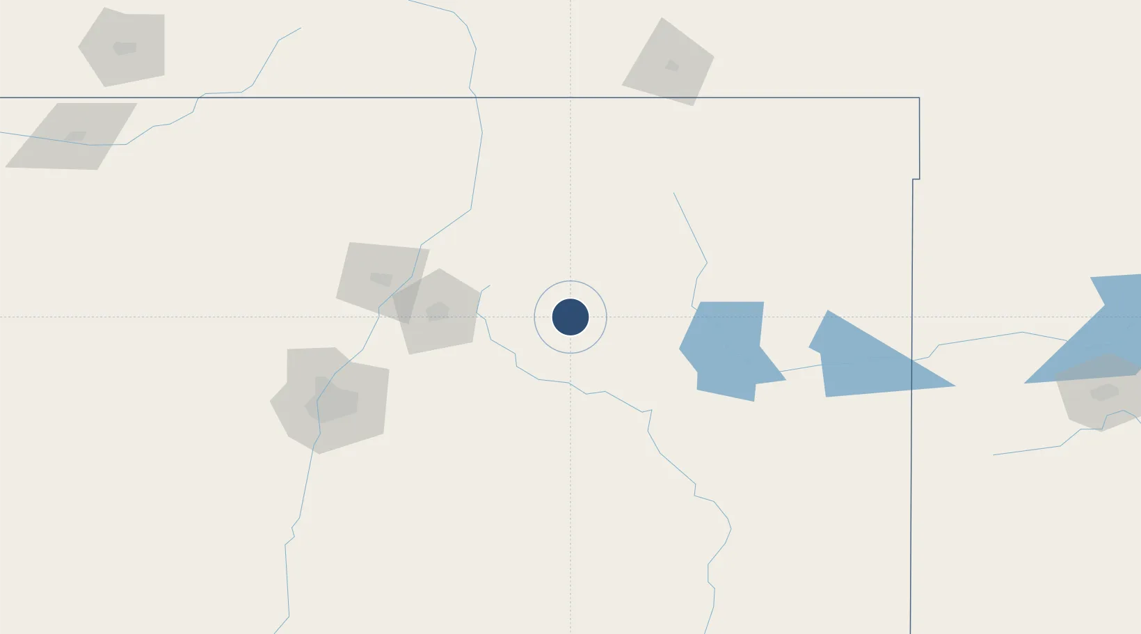
35.6542°, -105.1420°
8,199 ft
Longest runway
2
Runways
6,877 ft
Elevation
Runway & Layout

Radio Frequencies
ASOS
118.525 MHz
CNTR
132.8 MHz
ALBUQUERQUE CNTR
RDO
122.6 MHz
ALBUQUERQUE RDO
UNIC
122.8 MHz
CTAF/UNICOM
Runways · 2
| Runway | Dimensions | Surface | True heading | Lit |
|---|---|---|---|---|
| 14/32 | 8,199 × 75ft | Asphalt | 152° | ✓ |
| 02/20 | 5,006 × 75ft | Asphalt | 035° | ✓ |
Airport Specifications
IATA code
LVS
ICAO code
KLVS
Airport class
Medium airport
Scheduled service
No
Runway surface
Asphalt
Served city
Las Vegas
Location
Nearby Logistics Neighbours
Airports
- 1Santa Fe Municipal Airport86 km
- 2Taos Regional Airport101 km
- 3Tucumcari Municipal Airport149 km
- 4Albuquerque International Sunport150 km
- 5Double Eagle II Airport160 km
Cities
- 1Wagon Mound54 km
- 2Chimayo81 km
- 3Ranchos de Taos88 km
- 4Santa Rosa91 km
- 5San Juan Pueblo94 km
Ports
- 1Guaymas1018 km
- 2Port Lavaca1120 km
- 3Deer Park1127 km
- 4Houston1131 km
- 5Corpus Christi1137 km
Trade Zones
- 1FTZ No. 110 Albuquerque165 km
- 2FTZ No. 252 Amarillo300 km
- 3FTZ No. 112 Colorado Springs355 km
- 4FTZ No. 260 Lubbock366 km
- 5FTZ No. 261 Alexandria366 km
DatabookThe Record of Consolidated Knowledge
United States beyond logistics?