UN/LOCODE hub · United States
US8DD

Ranchos de Taos

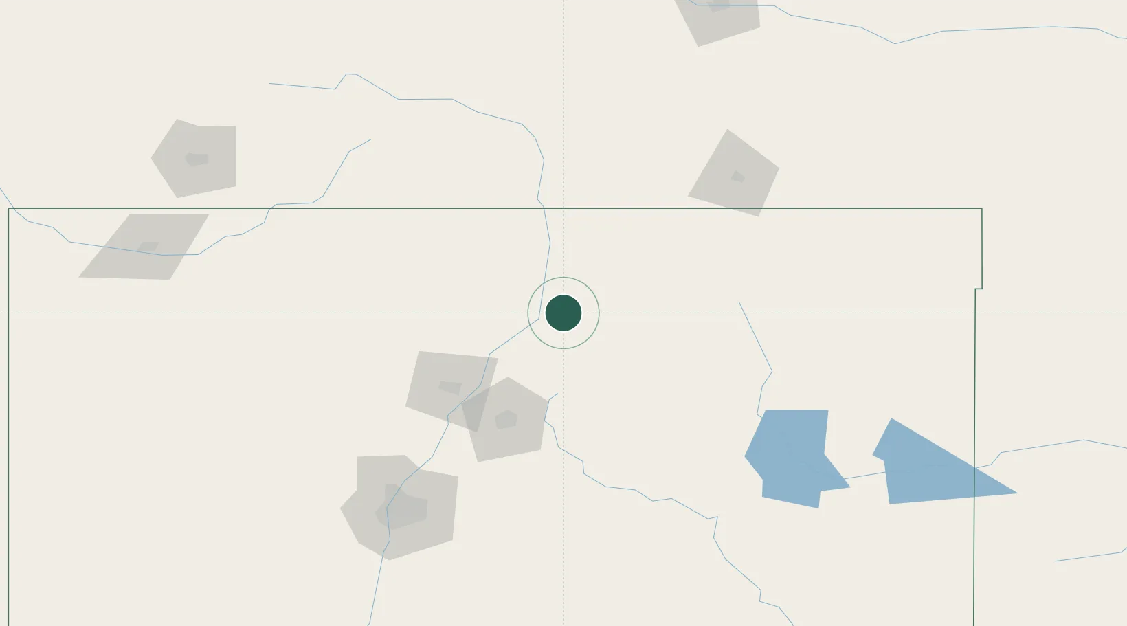
36.3500°, -105.6000°
2,518
Population
2
Transport functions

Transport Functions

Port
Road
UN/LOCODE

Hub Profile

Place type
Populated place
GeoNames
Region
New Mexico
GeoNames
Population
2,518
GeoNames
Time zone
America/Denver
GeoNames
Elevation
2,105 m
GeoNames

Location

Location of US8DD
Natural Earth 10m (public domain) · New Mexico · US8DD · 36.35, -105.60GoogleOSMYandex

Nearby Logistics Neighbours

Cities
  1. 1Chimayo49 km
  2. 2Alcade50 km
  3. 3San Juan Pueblo54 km
  4. 4Wagon Mound88 km
  5. 5San Acacio95 km
Nearest neighbours — logibook spatial index (haversine) over the source coordinates
Ports
  1. 1Guaymas1063 km
  2. 2Santa Rosalia1184 km
  3. 3Isla San Marcos1189 km
  4. 4Port Lavaca1203 km
  5. 5Deer Park1205 km
Nearest neighbours — logibook spatial index (haversine) over the source coordinates
Airports
  1. 1Taos Regional Airport13 km
  2. 2Las Vegas Municipal Airport88 km
  3. 3Santa Fe Municipal Airport93 km
  4. 4San Luis Valley Regional Airport/Bergman Field123 km
  5. 5Albuquerque International Sunport172 km
Nearest neighbours — logibook spatial index (haversine) over the source coordinates
Trade Zones
  1. 1FTZ No. 110 Albuquerque179 km
  2. 2FTZ No. 112 Colorado Springs284 km
  3. 3FTZ No. 252 Amarillo359 km
  4. 4FTZ No. 293 Limon365 km
  5. 5FTZ No. 298 Jefferson County379 km
Nearest neighbours — logibook spatial index (haversine) over the source coordinates
DatabookThe Record of Consolidated Knowledge
United States beyond logistics?
Browse databook

All Sources

LocationsUN/LOCODE
UN/LOCODE — free
LocationsGeoNames
CC BY 4.0
Portsthe NGA World Port Index
Public domain (US gov)
AirportsOurAirports
Public domain
Trade Zonesthe World Bank SEZ database
CC BY 4.0
Trade ZonesOpen Zone Map
CC BY
← United States locations