UN/LOCODE hub · United States
USBEO
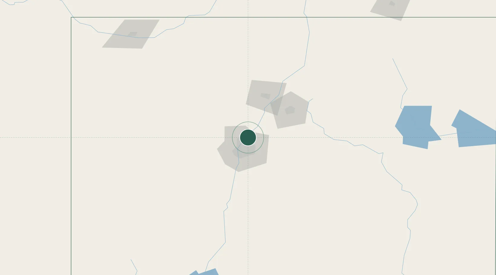
Bernalillo
35.3000°, -106.5500°
8,843
Population
2
Transport functions
Transport Functions
Rail
Road
Hub Profile
Place type
Provincial seat
Region
New Mexico
Population
8,843
Time zone
America/Denver
Elevation
1,540 m
Location
Nearby Logistics Neighbours
Cities
- 1Edgewood43 km
- 2Bosque Farms52 km
- 3Los Lunas58 km
- 4Moriarty59 km
- 5Dalies65 km
Ports
- 1Guaymas919 km
- 2Ensenada1008 km
- 3San Diego1021 km
- 4Rosarito1027 km
- 5Santa Rosalia1039 km
Airports
Trade Zones
- 1FTZ No. 110 Albuquerque34 km
- 2FTZ No. 197 Dona Ana County330 km
- 3FTZ No. 068 El Paso387 km
- 4FTZ No. 150 El Paso387 km
- 5FTZ No. 112 Colorado Springs422 km
DatabookThe Record of Consolidated Knowledge
United States beyond logistics?