Large airport · United States
Albuquerque International SunportKABQ
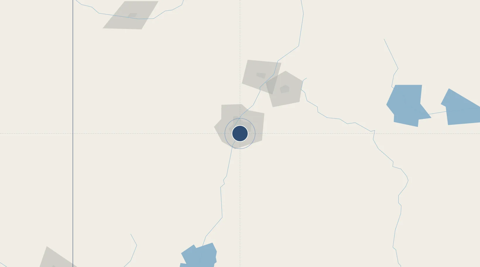
35.0400°, -106.6089°
13,793 ft
Longest runway
3
Runways
5,355 ft
Elevation
Runway & Layout

Radio Frequencies
ATIS
118 MHz
TWR
120.3 MHz
Tower
TWR
123.775 MHz
Tower
GND
121.9 MHz
Ground
CLD
119.2 MHz
Clearance
APP
123.9 MHz
DEP
123.9 MHz
UNICOM
122.95 MHz
Runways · 3
| Runway | Dimensions | Surface | True heading | Lit |
|---|---|---|---|---|
| 08/26 | 13,793 × 150ft | CONC-G | 090° | — |
| 03/21 | 10,000 × 150ft | CONC-G | 045° | — |
| 12/30 | 6,000 × 150ft | CONC-G | 129° | — |
Airport Specifications
IATA code
ABQ
ICAO code
KABQ
Airport class
Large airport
Scheduled service
Yes
Runway surface
CONC-G
Served city
Albuquerque
Location
Nearby Logistics Neighbours
Airports
- 1Double Eagle II Airport21 km
- 2Santa Fe Municipal Airport80 km
- 3Las Vegas Municipal Airport150 km
- 4Taos Regional Airport178 km
- 5Sierra Blanca Regional Airport201 km
Cities
- 1Bosque Farms23 km
- 2Los Lunas28 km
- 3Bernalillo29 km
- 4Dalies38 km
- 5Edgewood39 km
Ports
- 1Guaymas891 km
- 2Ensenada994 km
- 3San Diego1009 km
- 4Santa Rosalia1012 km
- 5Rosarito1014 km
Trade Zones
- 1FTZ No. 110 Albuquerque20 km
- 2FTZ No. 197 Dona Ana County300 km
- 3FTZ No. 068 El Paso359 km
- 4FTZ No. 150 El Paso359 km
- 5FTZ No. 260 Lubbock450 km
DatabookThe Record of Consolidated Knowledge
United States beyond logistics?