Transport Functions
Road
Multimodal
Hub Profile
Place type
Populated place
Region
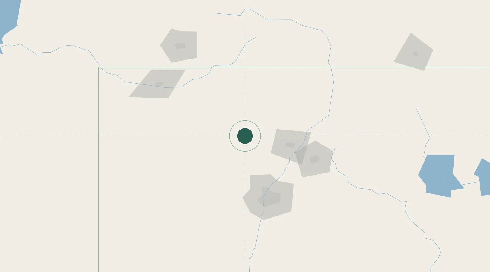
New Mexico
Population
736
Time zone
America/Denver
Elevation
2,105 m
Location
Nearby Logistics Neighbours
Cities
- 1San Juan Pueblo80 km
- 2Alcade81 km
- 3Bernalillo88 km
- 4Chimayo92 km
- 5Chama104 km
Ports
- 1Guaymas975 km
- 2Ensenada1005 km
- 3San Diego1008 km
- 4Rosarito1017 km
- 5Newport Beach1034 km
Airports
- 1Santa Fe Municipal Airport89 km
- 2Double Eagle II Airport98 km
- 3Albuquerque International Sunport113 km
- 4Taos Regional Airport124 km
- 5Four Corners Regional Airport140 km
Trade Zones
- 1FTZ No. 110 Albuquerque105 km
- 2FTZ No. 112 Colorado Springs365 km
- 3FTZ No. 197 Dona Ana County402 km
- 4FTZ No. 298 Jefferson County443 km
- 5FTZ No. 123 Denver448 km
DatabookThe Record of Consolidated Knowledge
United States beyond logistics?