Medium airport · United States
Double Eagle II AirportKAEG
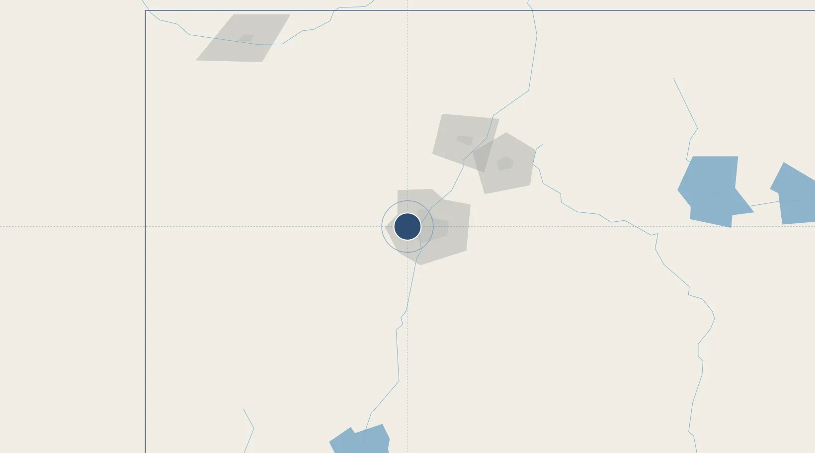
35.1452°, -106.7950°
7,398 ft
Longest runway
2
Runways
5,837 ft
Elevation
Runway & Layout

Radio Frequencies
AWOS
119.025 MHz
AWOS 3
TWR
120.15 MHz
0600-2200
CLD
124.8 MHz
CLNC DEL
A/D
127.4 MHz
ALBUQUERQUE APP/DEP
UNIC
122.8 MHz
CTAF/UNICOM
Runways · 2
| Runway | Dimensions | Surface | True heading | Lit |
|---|---|---|---|---|
| 04/22 | 7,398 × 100ft | Asphalt | 046° | ✓ |
| 17/35 | 5,983 × 100ft | Asphalt | 180° | ✓ |
Airport Specifications
ICAO code
KAEG
Airport class
Medium airport
Scheduled service
No
Runway surface
Asphalt
Served city
Albuquerque
Location
Nearby Logistics Neighbours
Airports
- 1Albuquerque International Sunport21 km
- 2Santa Fe Municipal Airport83 km
- 3Las Vegas Municipal Airport160 km
- 4Taos Regional Airport177 km
- 5Gallup Municipal Airport185 km
Cities
- 1Bernalillo28 km
- 2Bosque Farms34 km
- 3Los Lunas39 km
- 4Dalies42 km
- 5Edgewood57 km
Ports
- 1Guaymas893 km
- 2Ensenada982 km
- 3San Diego995 km
- 4Rosarito1001 km
- 5Santa Rosalia1013 km
Trade Zones
- 1FTZ No. 110 Albuquerque7 km
- 2FTZ No. 197 Dona Ana County308 km
- 3FTZ No. 068 El Paso372 km
- 4FTZ No. 150 El Paso372 km
- 5FTZ No. 112 Colorado Springs446 km
DatabookThe Record of Consolidated Knowledge
United States beyond logistics?