UN/LOCODE hub · United States
USJQJ
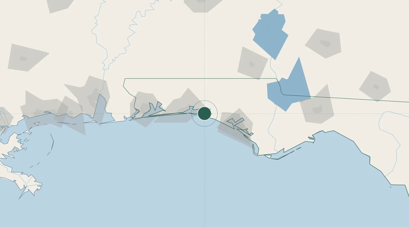
Santa Rosa Beach
30.4000°, -86.2333°
32,459
Population
1
Transport functions
Transport Functions
Port
Hub Profile
Place type
Populated place
Region
Florida
Population
32,459
Time zone
America/Chicago
Elevation
1 m
Location
Nearby Logistics Neighbours
Cities
- 1Miramar Beach13 km
- 2Freeport13 km
- 3Eglin Air Force Base31 km
- 4Shalimar34 km
- 5De Funiak Springs38 km
Ports
- 1Panama City63 km
- 2Pensacola94 km
- 3Port St Joe110 km
- 4Apalachicola142 km
- 5Carrabelle163 km
Airports
Trade Zones
- 1FTZ No. 065 Panama City52 km
- 2FTZ No. 249 Pensacola99 km
- 3FTZ No. 233 Dothan120 km
- 4FTZ No. 082 Mobile181 km
- 5FTZ No. 222 Montgomery220 km
DatabookThe Record of Consolidated Knowledge
United States beyond logistics?