Transport Functions
Road
Multimodal
Hub Profile
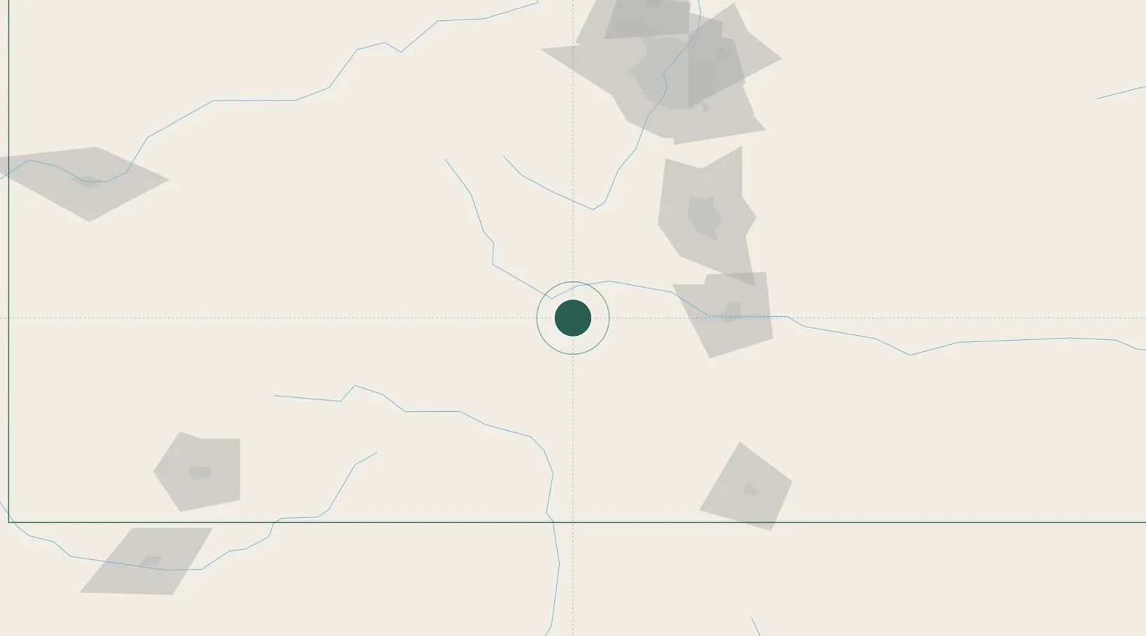
Place type
Populated place
Region
Colorado
Time zone
America/Denver
Elevation
2,283 m
Location
Nearby Logistics Neighbours
Cities
- 1Florence43 km
- 2Cripple Creek66 km
- 3Victor66 km
- 4Nathrop70 km
- 5Center71 km
Ports
- 1San Diego1215 km
- 2Newport Beach1220 km
- 3Ensenada1228 km
- 4Rosarito1230 km
- 5Guaymas1251 km
Airports
Trade Zones
- 1FTZ No. 112 Colorado Springs94 km
- 2FTZ No. 298 Jefferson County170 km
- 3FTZ No. 123 Denver174 km
- 4FTZ No. 293 Limon200 km
- 5FTZ No. 110 Albuquerque369 km
DatabookThe Record of Consolidated Knowledge
United States beyond logistics?