Medium airport · United States

Gunnison Crested Butte Regional AirportKGUC

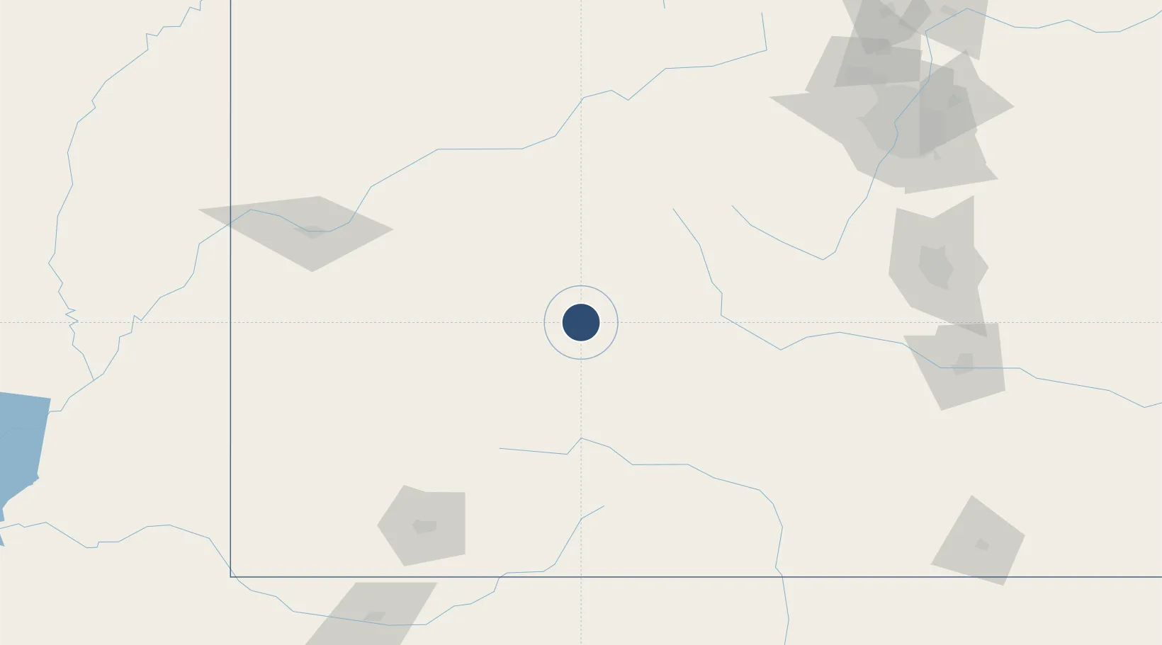
38.5347°, -106.9346°
9,400 ft
Longest runway
2
Runways
7,680 ft
Elevation

Runway & Layout

Gunnison Crested Butte Regional Airport runway & taxiway layout
Runway & taxiway layout — OpenStreetMap (ODbL) / OurAirports

Radio Frequencies

AWOS
135.075 MHz
AWOS 3
CNTR
125.35 MHz
DENVER CNTR
UNIC
122.7 MHz
CTAF/UNICOM
OurAirports

Runways · 2

RunwayDimensions SurfaceTrue headingLit
06/24 9,400 × 150ft Asphalt 074°
17/35 2,981 × 150ft Gravel 180°
OurAirports

Airport Specifications

IATA code
GUC
OurAirports
ICAO code
KGUC
OurAirports
Airport class
Medium airport
OurAirports
Scheduled service
Yes
OurAirports
Runway surface
Asphalt
OurAirports
Served city
Gunnison
OurAirports

Location

Location of KGUC
Natural Earth 10m (public domain) · Colorado · KGUC · 38.53, -106.93GoogleOSMYandex

Nearby Logistics Neighbours

Airports
  1. 1Aspen-Pitkin County Airport (Sardy Field)77 km
  2. 2Montrose Regional Airport84 km
  3. 3Telluride Regional Airport107 km
  4. 4Eagle County Regional Airport123 km
  5. 5Garfield County Regional Airport130 km
Nearest neighbours — logibook spatial index (haversine) over the source coordinates
Cities
  1. 1Somerset64 km
  2. 2Snowmass Village74 km
  3. 3Buena Vista77 km
  4. 4Nathrop78 km
  5. 5Granite82 km
Nearest neighbours — logibook spatial index (haversine) over the source coordinates
Ports
  1. 1Newport Beach1126 km
  2. 2San Diego1129 km
  3. 3Long Beach1140 km
  4. 4Los Angeles1146 km
  5. 5Rosarito1147 km
Nearest neighbours — logibook spatial index (haversine) over the source coordinates
Trade Zones
  1. 1FTZ No. 112 Colorado Springs186 km
  2. 2FTZ No. 298 Jefferson County204 km
  3. 3FTZ No. 123 Denver215 km
  4. 4FTZ No. 293 Limon292 km
  5. 5FTZ No. 110 Albuquerque384 km
Nearest neighbours — logibook spatial index (haversine) over the source coordinates
DatabookThe Record of Consolidated Knowledge
United States beyond logistics?
Browse databook

All Sources

AirportsOurAirports
Public domain
Portsthe NGA World Port Index
Public domain (US gov)
LocationsUN/LOCODE
UN/LOCODE — free
Trade Zonesthe World Bank SEZ database
CC BY 4.0
Trade ZonesOpen Zone Map
CC BY
InfrastructureOpenStreetMap
ODbL 1.0
← United States airports