Transport Functions
Road
Multimodal
Hub Profile
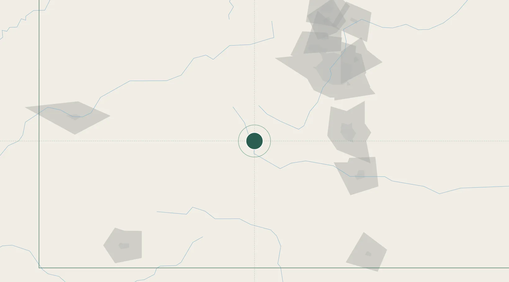
Place type
Populated place
Region
Colorado
Population
288
Time zone
America/Denver
Elevation
2,341 m
Location
Nearby Logistics Neighbours
Cities
- 1Buena Vista10 km
- 2Granite37 km
- 3Climax69 km
- 4Hillside70 km
- 5Cripple Creek80 km
Ports
- 1Newport Beach1203 km
- 2San Diego1204 km
- 3Long Beach1217 km
- 4Rosarito1222 km
- 5Los Angeles1223 km
Airports
Trade Zones
- 1FTZ No. 112 Colorado Springs110 km
- 2FTZ No. 298 Jefferson County136 km
- 3FTZ No. 123 Denver145 km
- 4FTZ No. 293 Limon215 km
- 5FTZ No. 110 Albuquerque413 km
DatabookThe Record of Consolidated Knowledge
United States beyond logistics?