Transport Functions
Port
Road
Multimodal
Hub Profile
Region
AL
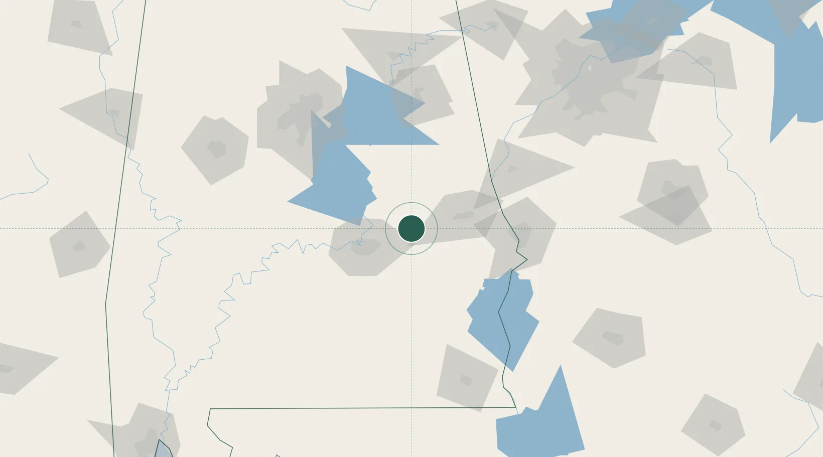
Location
Nearby Logistics Neighbours
Cities
- 1Eclectic18 km
- 2Mount Meigs29 km
- 3Dadeville34 km
- 4Camp Hill37 km
- 5Rockford50 km
Ports
- 1Panama City268 km
- 2Pensacola269 km
- 3Mobile295 km
- 4Port St Joe307 km
- 5Carrabelle320 km
Airports
Trade Zones
- 1FTZ No. 222 Montgomery44 km
- 2FTZ No. 098 Birmingham140 km
- 3FTZ No. 233 Dothan151 km
- 4FTZ No. 026 Atlanta195 km
- 5FTZ No. 083 Huntsville249 km
DatabookThe Record of Consolidated Knowledge
United States beyond logistics?