UN/LOCODE hub · United States
USGG4
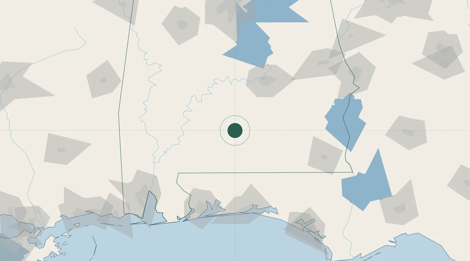
Georgiana
31.6333°, -86.7500°
1,667
Population
3
Transport functions
Transport Functions
Rail
Road
Multimodal
Hub Profile
Place type
Populated place
Region
Alabama
Population
1,667
Time zone
America/Chicago
Elevation
89 m
Location
Nearby Logistics Neighbours
Cities
- 1McKenzie12 km
- 2Pine Apple34 km
- 3Castleberry43 km
- 4Brantley48 km
- 5Letohatchee59 km
Ports
- 1Pensacola144 km
- 2Mobile168 km
- 3Panama City197 km
- 4Pascagoula224 km
- 5Port St Joe244 km
Airports
Trade Zones
- 1FTZ No. 222 Montgomery92 km
- 2FTZ No. 233 Dothan133 km
- 3FTZ No. 249 Pensacola142 km
- 4FTZ No. 082 Mobile165 km
- 5FTZ No. 065 Panama City186 km
DatabookThe Record of Consolidated Knowledge
United States beyond logistics?