Transport Functions
Road
Multimodal
Hub Profile
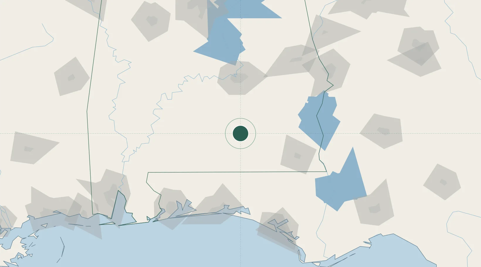
Place type
Populated place
Region
Alabama
Population
805
Time zone
America/Chicago
Elevation
90 m
Location
Nearby Logistics Neighbours
Cities
- 1New Brockton38 km
- 2Kinston42 km
- 3McKenzie43 km
- 4Brundidge44 km
- 5Georgiana48 km
Ports
- 1Pensacola159 km
- 2Panama City169 km
- 3Mobile203 km
- 4Port St Joe214 km
- 5Apalachicola239 km
Airports
Trade Zones
- 1FTZ No. 233 Dothan87 km
- 2FTZ No. 222 Montgomery90 km
- 3FTZ No. 249 Pensacola158 km
- 4FTZ No. 065 Panama City159 km
- 5FTZ No. 082 Mobile201 km
DatabookThe Record of Consolidated Knowledge
United States beyond logistics?