Transport Functions
Road
Multimodal
Hub Profile
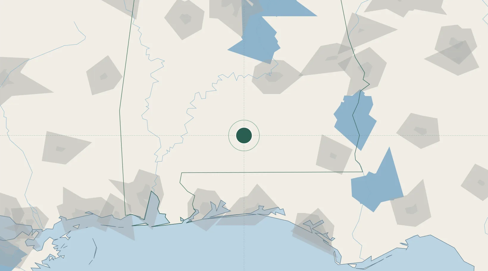
Place type
Populated place
Region
Alabama
Population
513
Time zone
America/Chicago
Elevation
138 m
Location
Nearby Logistics Neighbours
Cities
- 1Georgiana12 km
- 2Castleberry38 km
- 3Brantley43 km
- 4Pine Apple46 km
- 5Kinston63 km
Ports
- 1Pensacola135 km
- 2Mobile165 km
- 3Panama City185 km
- 4Pascagoula221 km
- 5Port St Joe232 km
Airports
Trade Zones
- 1FTZ No. 222 Montgomery100 km
- 2FTZ No. 233 Dothan126 km
- 3FTZ No. 249 Pensacola133 km
- 4FTZ No. 082 Mobile162 km
- 5FTZ No. 065 Panama City174 km
DatabookThe Record of Consolidated Knowledge
United States beyond logistics?