UN/LOCODE hub · United States
USPAA
Pine Apple
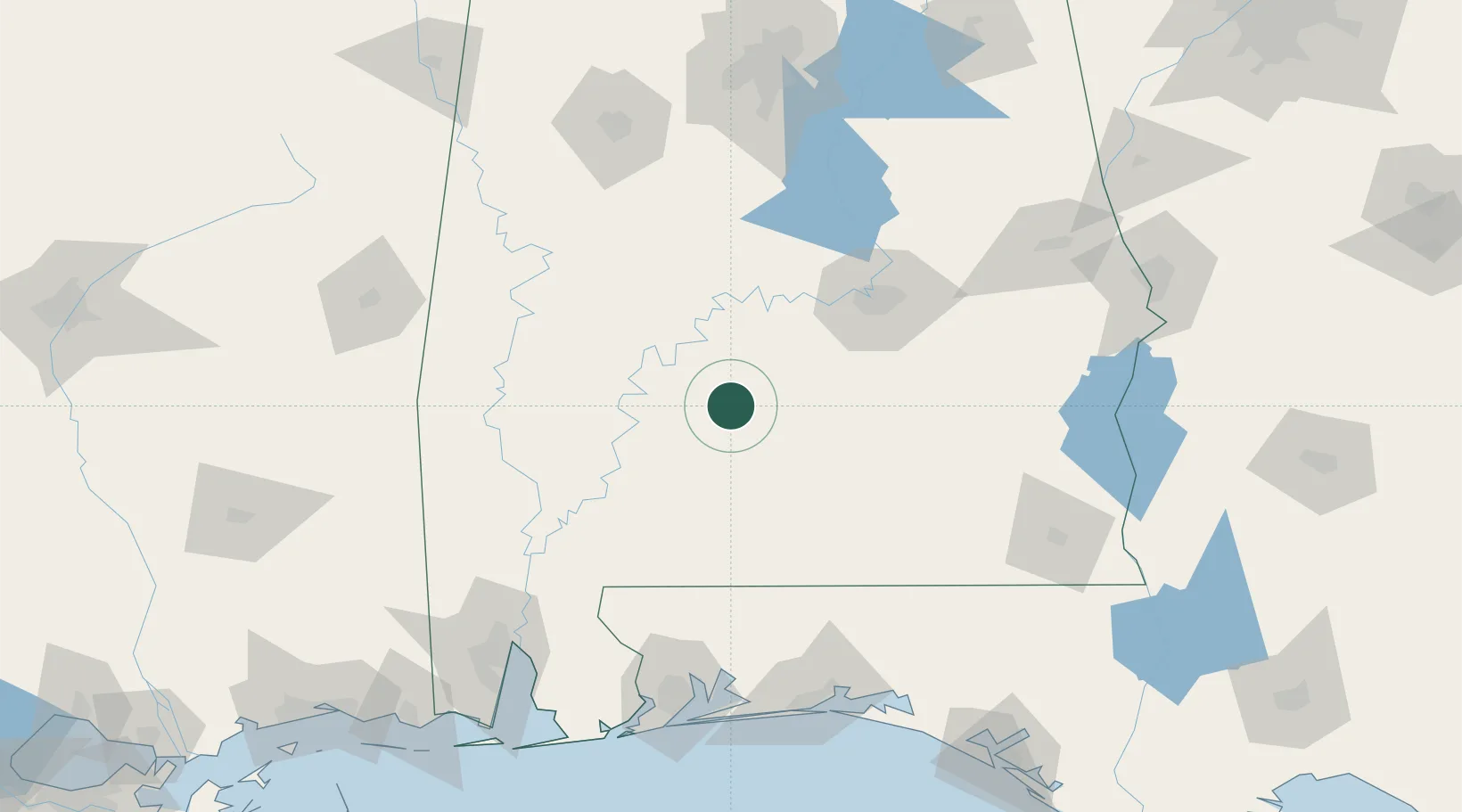
31.8667°, -86.9833°
126
Population
2
Transport functions
Transport Functions
Port
Road
Hub Profile
Place type
Populated place
Region
Alabama
Population
126
Time zone
America/Chicago
Elevation
93 m
Location
Nearby Logistics Neighbours
Cities
- 1Camden31 km
- 2Georgiana34 km
- 3McKenzie46 km
- 4Letohatchee55 km
- 5Castleberry60 km
Ports
- 1Pensacola165 km
- 2Mobile170 km
- 3Pascagoula226 km
- 4Panama City231 km
- 5Biloxi245 km
Airports
Trade Zones
- 1FTZ No. 222 Montgomery85 km
- 2FTZ No. 249 Pensacola161 km
- 3FTZ No. 233 Dothan164 km
- 4FTZ No. 082 Mobile168 km
- 5FTZ No. 098 Birmingham185 km
DatabookThe Record of Consolidated Knowledge
United States beyond logistics?