UN/LOCODE hub · United States
USCJZ
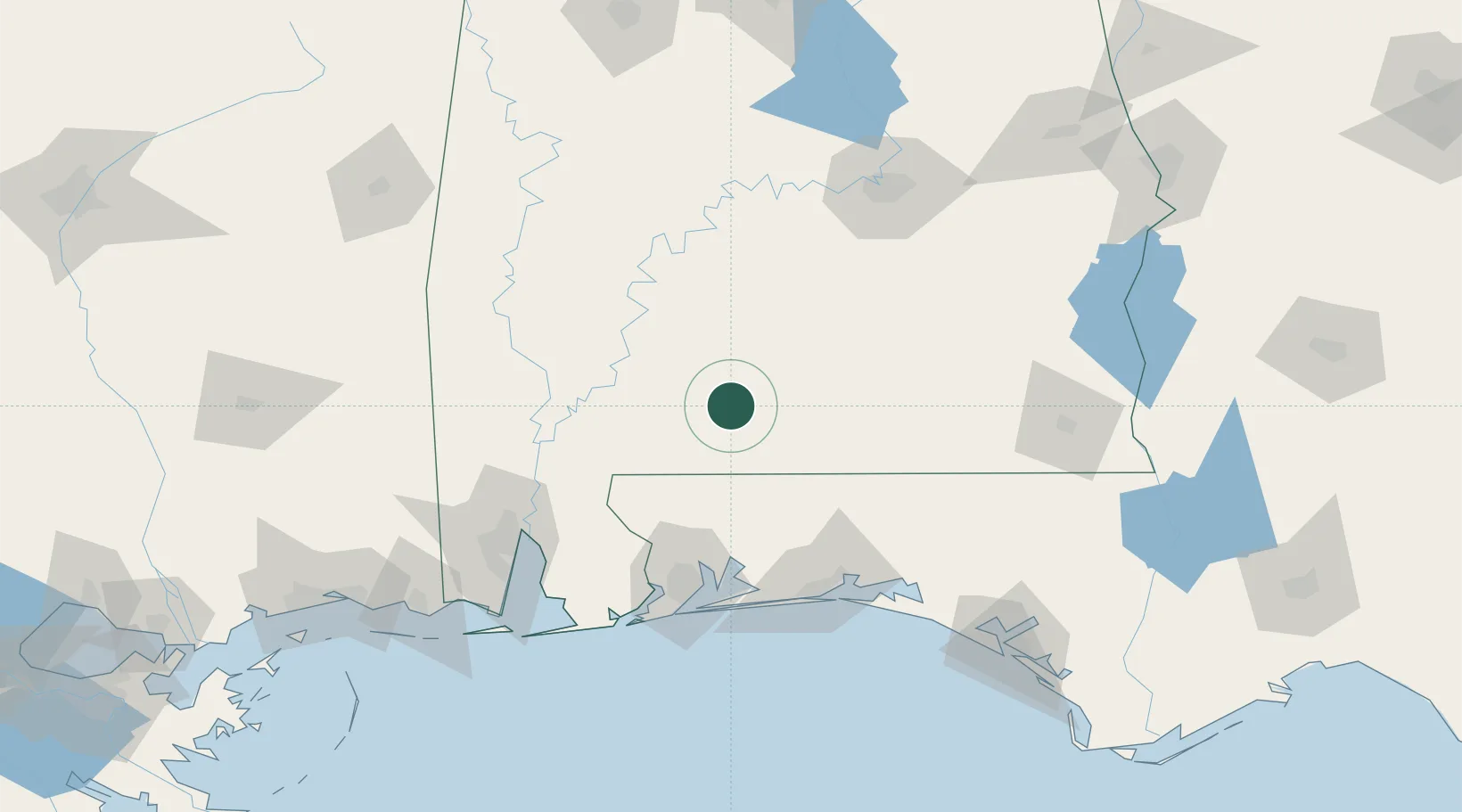
Castleberry
31.3294°, -87.0270°
565
Population
3
Transport functions
Transport Functions
Rail
Road
Border Crossing
Hub Profile
Place type
Populated place
Region
Alabama
Population
565
Time zone
America/Chicago
Elevation
55 m
Logistics facilities
1
Location
Nearby Logistics Neighbours
Cities
- 1McKenzie38 km
- 2Georgiana43 km
- 3Flomaton43 km
- 4Uriah45 km
- 5Perdue Hill49 km
Ports
- 1Pensacola105 km
- 2Mobile126 km
- 3Pascagoula183 km
- 4Panama City187 km
- 5Biloxi206 km
Airports
Trade Zones
- 1FTZ No. 249 Pensacola102 km
- 2FTZ No. 082 Mobile124 km
- 3FTZ No. 222 Montgomery134 km
- 4FTZ No. 233 Dothan153 km
- 5FTZ No. 065 Panama City175 km
DatabookThe Record of Consolidated Knowledge
United States beyond logistics?