UN/LOCODE hub · United States
USGAS
Granite Shoals
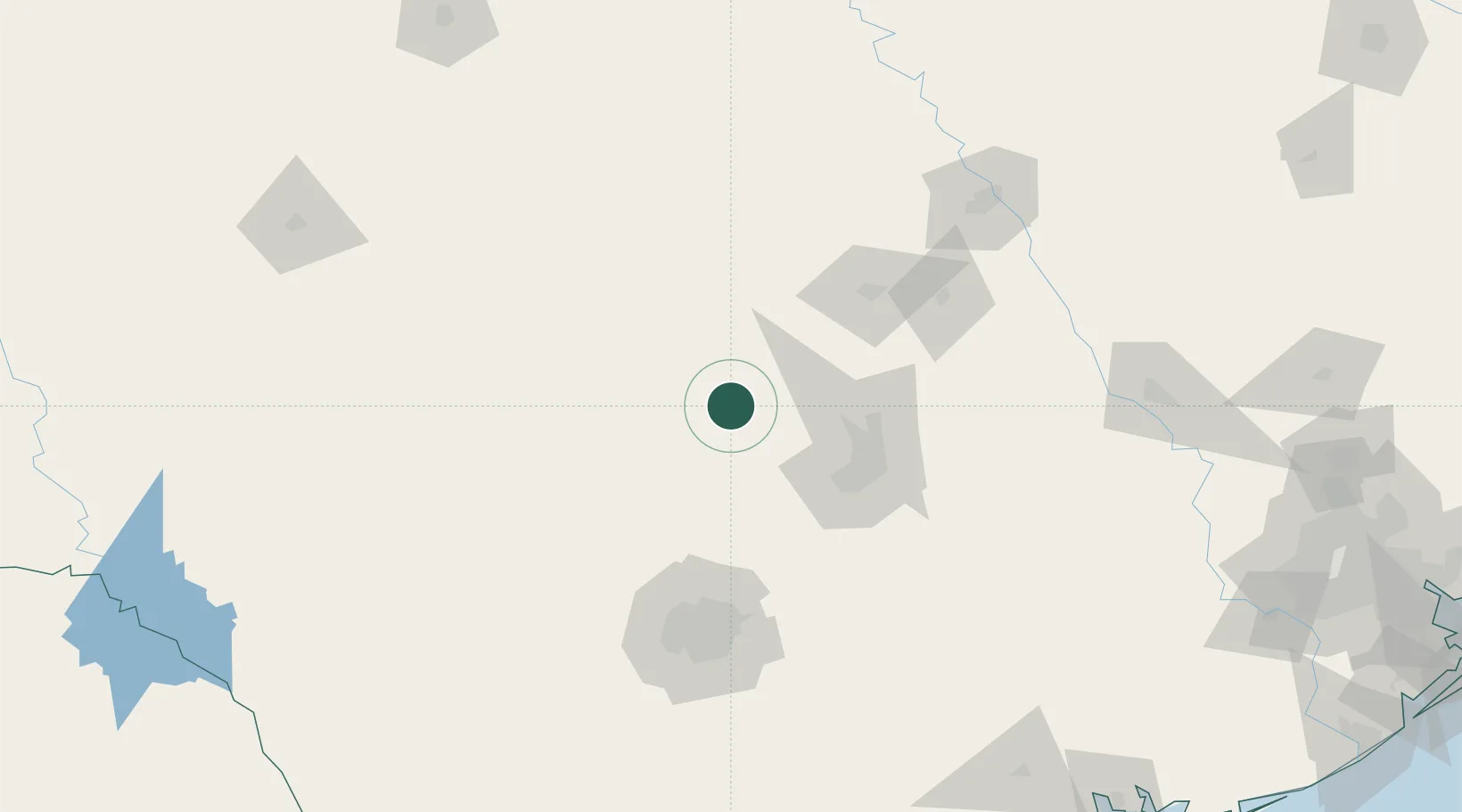
30.5833°, -98.3833°
5,071
Population
2
Transport functions
Transport Functions
Road
Multimodal
Hub Profile
Place type
Populated place
Region
Texas
Population
5,071
Time zone
America/Chicago
Elevation
268 m
Location
Nearby Logistics Neighbours
Ports
- 1Port Lavaca278 km
- 2Palacios298 km
- 3Deer Park308 km
- 4Houston312 km
- 5Rockport313 km
Airports
Trade Zones
- 1FTZ No. 183 Austin71 km
- 2FTZ No. 080 San Antonio129 km
- 3FTZ No. 246 Waco152 km
- 4FTZ No. 113 Ellis County231 km
- 5FTZ No. 039 Dallas Fort Worth241 km
DatabookThe Record of Consolidated Knowledge
United States beyond logistics?