Foreign Trade Zone · United States

FTZ No. 246 Waco Active
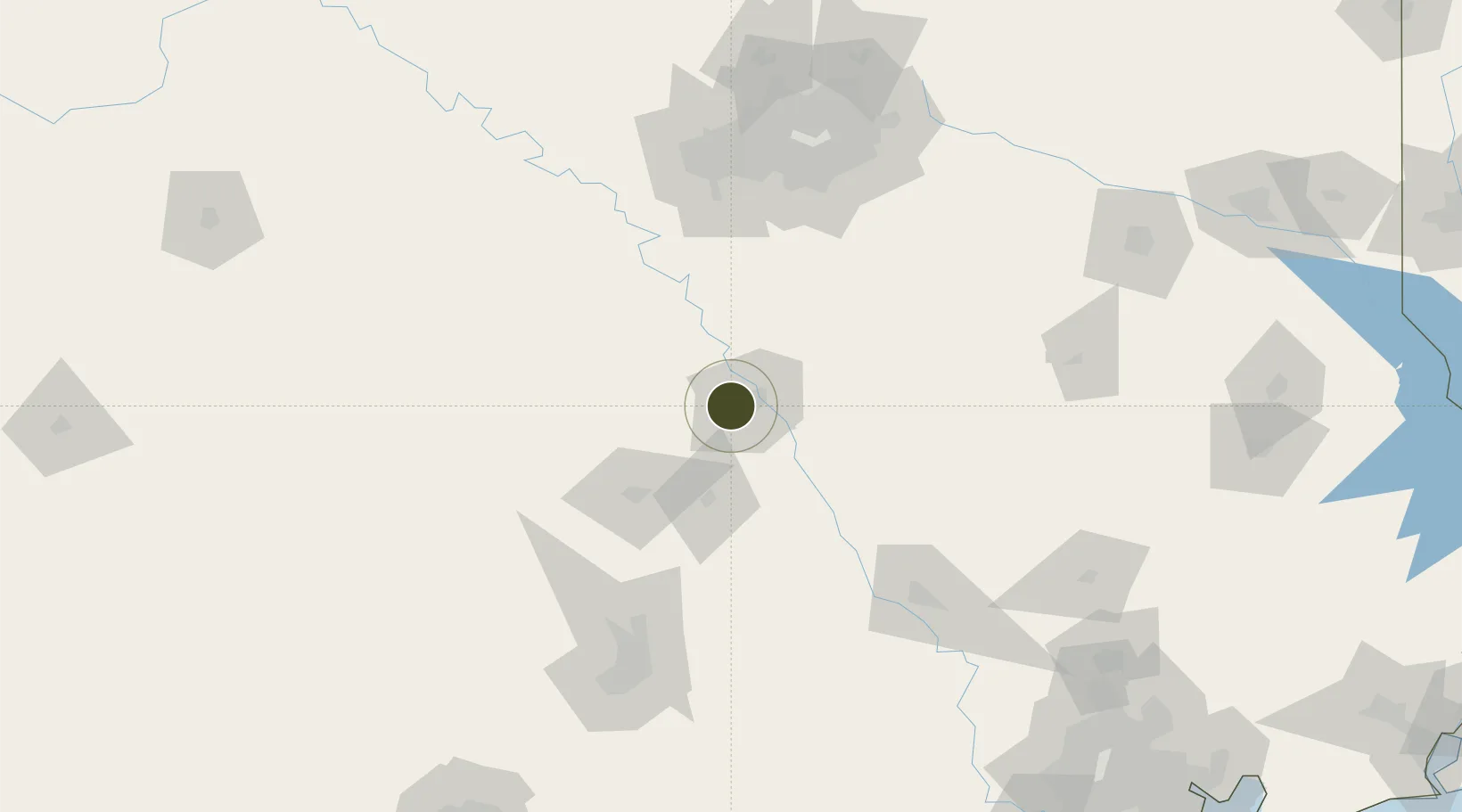
31.5533°, -97.2576°
272.2 km
Nearest port
6.9 km
Nearest airport

Gateway access

Nearest neighbours — logibook spatial index (haversine) over the source coordinates

Zone profile

Zone type
Foreign Trade Zone
Open Zone Map
Region
Texas
Open Zone Map
Status
Active
Open Zone Map
Management
Public-Private Partnership
Open Zone Map
Operator
City of Waco, Texas and the Economic Development Division
Open Zone Map
Legal framework
Foreign-Trade Zones Act
Open Zone Map

Location

Location of ozm-4936
Natural Earth 10m (public domain) · Texas · ozm-4936 · 31.55, -97.26GoogleOSMYandex

Nearby Logistics Neighbours

Ports
  1. 1Deer Park272 km
  2. 2Houston275 km
  3. 3Pasadena283 km
  4. 4Baytown295 km
  5. 5Texas City330 km
Nearest neighbours — logibook spatial index (haversine) over the source coordinates
Airports
  1. 1Waco Regional Airport7 km
  2. 2Draughon Miller Central Texas Regional Airport47 km
  3. 3Killeen Regional Airport / Robert Gray Army Airfield77 km
  4. 4Mid-Way Regional Airport106 km
  5. 5Austin Executive Airport132 km
Nearest neighbours — logibook spatial index (haversine) over the source coordinates
Cities
  1. 1Woodway8 km
  2. 2Hewitt11 km
  3. 3McGregor19 km
  4. 4Elm Mott21 km
  5. 5Bruceville26 km
Nearest neighbours — logibook spatial index (haversine) over the source coordinates
Trade Zones
  1. 1FTZ No. 113 Ellis County86 km
  2. 2FTZ No. 168 Dallas Fort Worth135 km
  3. 3FTZ No. 196 Fort Worth142 km
  4. 4FTZ No. 269 Athens148 km
  5. 5FTZ No. 183 Austin150 km
Nearest neighbours — logibook spatial index (haversine) over the source coordinates
DatabookThe Record of Consolidated Knowledge
United States beyond logistics?
Browse databook

All Sources

Trade ZonesOpen Zone Map
CC BY
Portsthe NGA World Port Index
Public domain (US gov)
AirportsOurAirports
Public domain
LocationsUN/LOCODE
UN/LOCODE — free
← United States trade zones