Large airport · United States

Austin Bergstrom International AirportKAUS
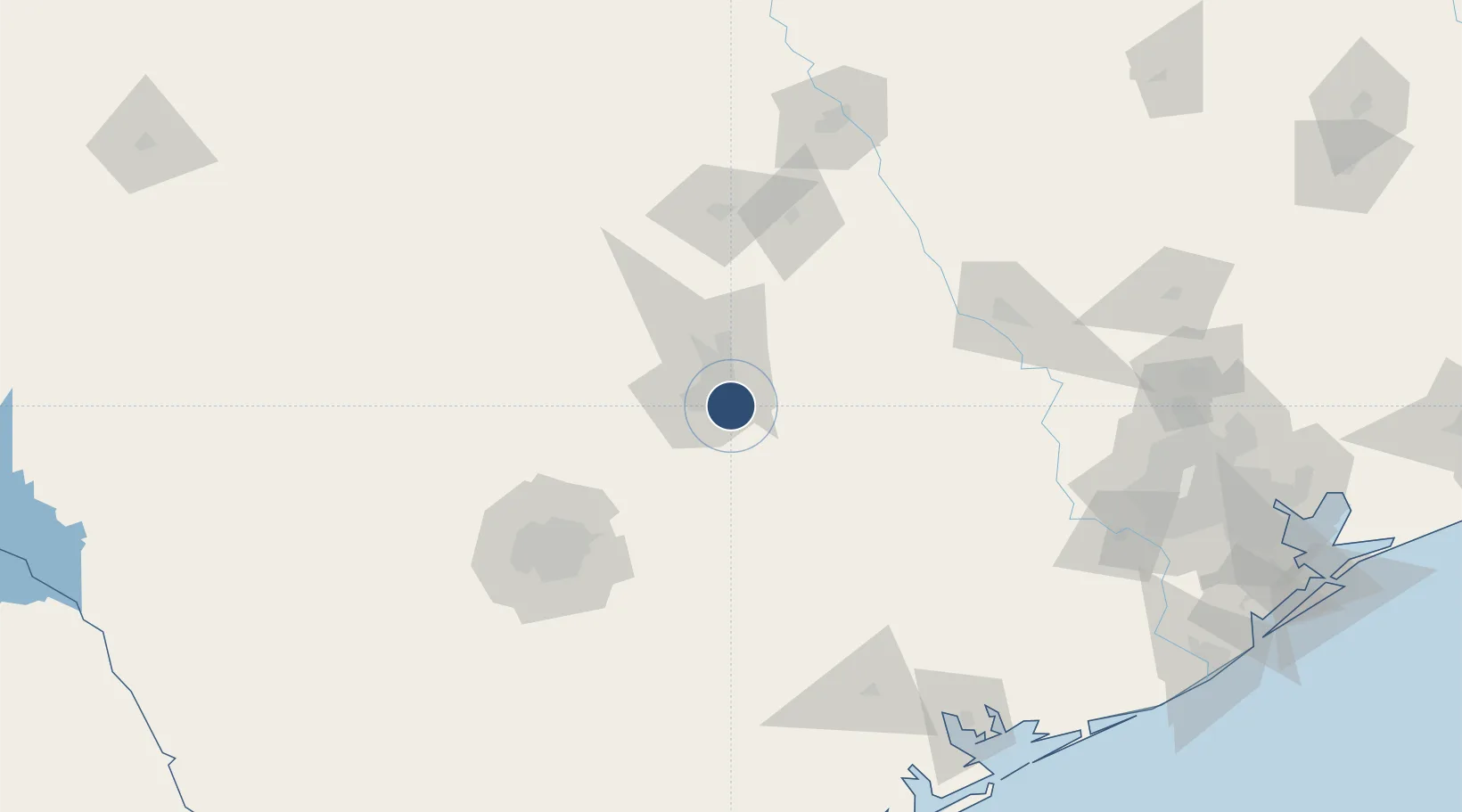
30.1975°, -97.6620°
12,250 ft
Longest runway
2
Runways
542 ft
Elevation

Runway & Layout

Austin Bergstrom International Airport runway & taxiway layout
Runway & taxiway layout — OpenStreetMap (ODbL) / OurAirports

Radio Frequencies

ATIS
124.4 MHz
ASOS
128.875 MHz
TWR
121 MHz
GND
121.7 MHz
CLD
125.5 MHz
CLNC DEL
A/D
118.8 MHz
APP/DEP
OPS
36.8 MHz
ARNG OPS
RDO
122.55 MHz
SAN ANGELO RDO
UNIC
122.95 MHz
UNICOM
OurAirports

Navaids

GF NDB Birdy 232 kHz
OurAirports

Runways · 2

RunwayDimensions SurfaceTrue headingLit
18R/36L 12,250 × 150ft Concrete 179°
18L/36R 9,000 × 150ft Concrete 179°
OurAirports

Airport Specifications

IATA code
AUS
OurAirports
ICAO code
KAUS
OurAirports
Airport class
Large airport
OurAirports
Scheduled service
Yes
OurAirports
Runway surface
Concrete
OurAirports
Served city
Austin
OurAirports

Location

Location of KAUS
Natural Earth 10m (public domain) · Texas · KAUS · 30.20, -97.66GoogleOSMYandex

Nearby Logistics Neighbours

Airports
  1. 1Austin Executive Airport24 km
  2. 2San Marcos Regional Airport39 km
  3. 3New Braunfels National Airport66 km
  4. 4Randolph Air Force Base95 km
  5. 5Killeen Regional Airport / Robert Gray Army Airfield98 km
Nearest neighbours — logibook spatial index (haversine) over the source coordinates
Cities
  1. 1Kyle31 km
  2. 2Elgin32 km
  3. 3Red Rock33 km
  4. 4Bastrop34 km
  5. 5Lakeway36 km
Nearest neighbours — logibook spatial index (haversine) over the source coordinates
Ports
  1. 1Port Lavaca203 km
  2. 2Palacios219 km
  3. 3Deer Park230 km
  4. 4Houston235 km
  5. 5Pasadena242 km
Nearest neighbours — logibook spatial index (haversine) over the source coordinates
Trade Zones
  1. 1FTZ No. 183 Austin11 km
  2. 2FTZ No. 080 San Antonio135 km
  3. 3FTZ No. 246 Waco156 km
  4. 4FTZ No. 084 Harris County231 km
  5. 5FTZ No. 113 Ellis County242 km
Nearest neighbours — logibook spatial index (haversine) over the source coordinates
DatabookThe Record of Consolidated Knowledge
United States beyond logistics?
Browse databook

All Sources

AirportsOurAirports
Public domain
Portsthe NGA World Port Index
Public domain (US gov)
LocationsUN/LOCODE
UN/LOCODE — free
Trade Zonesthe World Bank SEZ database
CC BY 4.0
Trade ZonesOpen Zone Map
CC BY
InfrastructureOpenStreetMap
ODbL 1.0
← United States airports