Foreign Trade Zone · United States

FTZ No. 080 San Antonio Active
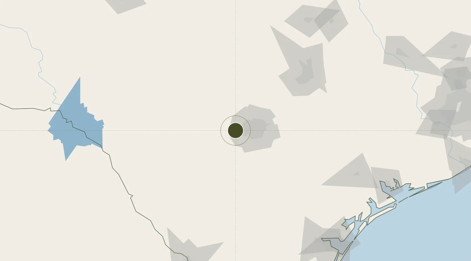
29.4811°, -98.7946°
229.7 km
Nearest port
23.3 km
Nearest airport

Gateway access

Nearest neighbours — logibook spatial index (haversine) over the source coordinates

Zone profile

Zone type
Foreign Trade Zone
Open Zone Map
Region
Texas
Open Zone Map
Status
Active
Open Zone Map
Management
Public
Open Zone Map
Operator
City of San Antonio Economic Development Department
Open Zone Map
Legal framework
Foreign-Trade Zones Act
Open Zone Map

Location

Location of ozm-4836
Natural Earth 10m (public domain) · Texas · ozm-4836 · 29.48, -98.79GoogleOSMYandex

Nearby Logistics Neighbours

Ports
  1. 1Corpus Christi230 km
  2. 2Port Lavaca233 km
  3. 3Rockport236 km
  4. 4Port Ingleside243 km
  5. 5Port Aransas250 km
Nearest neighbours — logibook spatial index (haversine) over the source coordinates
Airports
  1. 1Lackland Air Force Base23 km
  2. 2San Antonio International Airport32 km
  3. 3Stinson Municipal Airport35 km
  4. 4Randolph Air Force Base50 km
  5. 5New Braunfels National Airport77 km
Nearest neighbours — logibook spatial index (haversine) over the source coordinates
Cities
  1. 1Lackland City18 km
  2. 2Castle Hills29 km
  3. 3Von Ormy31 km
  4. 4Boerne34 km
  5. 5Bandera37 km
Nearest neighbours — logibook spatial index (haversine) over the source coordinates
Trade Zones
  1. 1FTZ No. 183 Austin134 km
  2. 2FTZ No. 096 Eagle Pass188 km
  3. 3FTZ No. 094 Laredo225 km
  4. 4FTZ No. 122 Corpus Christi230 km
  5. 5FTZ No. 246 Waco273 km
Nearest neighbours — logibook spatial index (haversine) over the source coordinates
DatabookThe Record of Consolidated Knowledge
United States beyond logistics?
Browse databook

All Sources

Trade ZonesOpen Zone Map
CC BY
Portsthe NGA World Port Index
Public domain (US gov)
AirportsOurAirports
Public domain
LocationsUN/LOCODE
UN/LOCODE — free
← United States trade zones