Foreign Trade Zone · United States

FTZ No. 039 Dallas Fort Worth Active
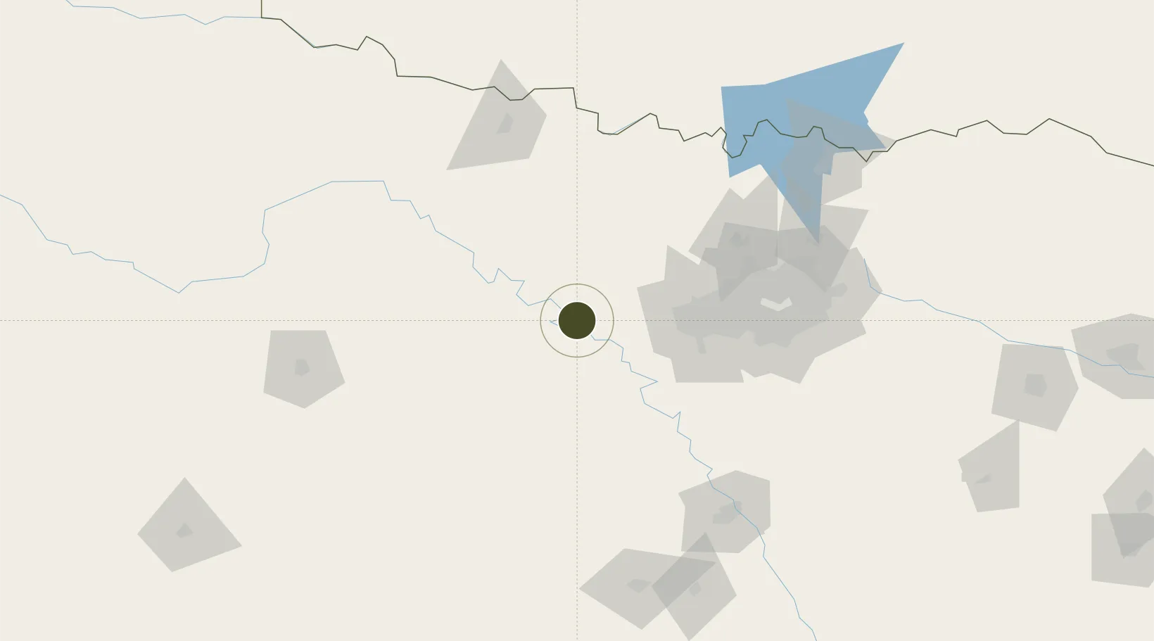
32.7381°, -98.0848°
2,200 ha
Zone area
422.8 km
Nearest port
5.4 km
Nearest airport

Gateway access

Nearest neighbours — logibook spatial index (haversine) over the source coordinates

Zone profile

Zone type
Foreign Trade Zone
Open Zone Map
Region
Texas
Open Zone Map
Status
Active
Open Zone Map
Management
Public-Private Partnership
Open Zone Map
Operator
Dallas/Fort Worth International Airport Board
Open Zone Map
Legal framework
Foreign-Trade Zones Act
Open Zone Map

Location

Location of ozm-4729
Natural Earth 10m (public domain) · Texas · ozm-4729 · 32.74, -98.08GoogleOSMYandex

Nearby Logistics Neighbours

Ports
  1. 1Deer Park423 km
  2. 2Houston426 km
  3. 3Pasadena433 km
  4. 4Baytown444 km
  5. 5Port Lavaca479 km
Nearest neighbours — logibook spatial index (haversine) over the source coordinates
Airports
  1. 1Mineral Wells Regional Airport5 km
  2. 2NAS Fort Worth JRB / Carswell Field60 km
  3. 3Fort Worth Meacham International Airport68 km
  4. 4Perot Field/Fort Worth Alliance Airport77 km
  5. 5Dallas Fort Worth International Airport99 km
Nearest neighbours — logibook spatial index (haversine) over the source coordinates
Cities
  1. 1Millsap8 km
  2. 2Palo Pinto19 km
  3. 3Fairview38 km
  4. 4Willow Park41 km
  5. 5Aledo46 km
Nearest neighbours — logibook spatial index (haversine) over the source coordinates
Trade Zones
  1. 1FTZ No. 196 Fort Worth49 km
  2. 2FTZ No. 168 Dallas Fort Worth52 km
  3. 3FTZ No. 113 Ellis County112 km
  4. 4FTZ No. 246 Waco153 km
  5. 5FTZ No. 227 Durant211 km
Nearest neighbours — logibook spatial index (haversine) over the source coordinates
DatabookThe Record of Consolidated Knowledge
United States beyond logistics?
Browse databook

All Sources

Trade ZonesOpen Zone Map
CC BY
Portsthe NGA World Port Index
Public domain (US gov)
AirportsOurAirports
Public domain
LocationsUN/LOCODE
UN/LOCODE — free
← United States trade zones