UN/LOCODE hub · United States
USLAZ
Lampasas
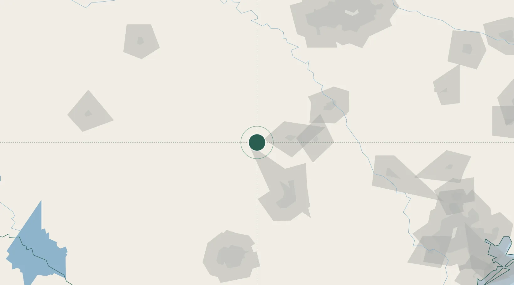
31.0667°, -98.1667°
7,687
Population
2
Transport functions
Transport Functions
Rail
Road
Hub Profile
Place type
Provincial seat
Region
Texas
Population
7,687
Time zone
America/Chicago
Elevation
313 m
Location
Nearby Logistics Neighbours
Cities
- 1Tow35 km
- 2Harker Heights48 km
- 3Kingsland53 km
- 4San Saba54 km
- 5Goldthwaite56 km
Ports
- 1Deer Park309 km
- 2Port Lavaca311 km
- 3Houston313 km
- 4Pasadena320 km
- 5Palacios325 km
Airports
Trade Zones
- 1FTZ No. 183 Austin98 km
- 2FTZ No. 246 Waco102 km
- 3FTZ No. 113 Ellis County175 km
- 4FTZ No. 039 Dallas Fort Worth186 km
- 5FTZ No. 080 San Antonio186 km
DatabookThe Record of Consolidated Knowledge
United States beyond logistics?