UN/LOCODE hub · United States
USKGL
Kingsland
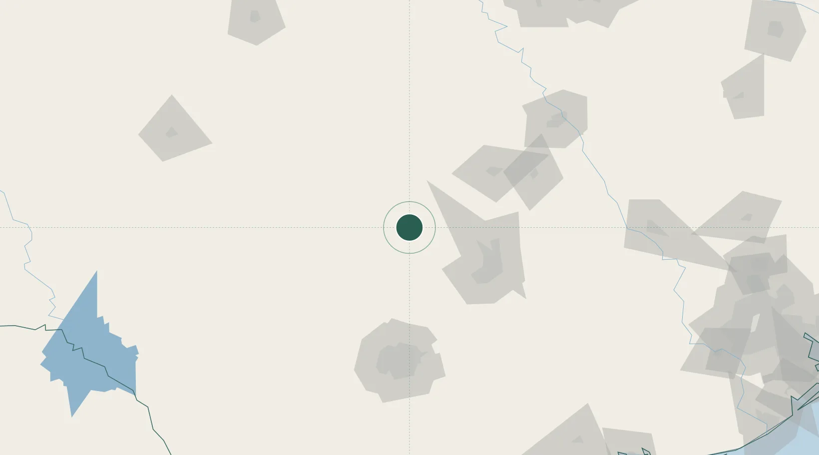
30.6500°, -98.4333°
6,030
Population
2
Transport functions
Transport Functions
Rail
Road
Hub Profile
Place type
Populated place
Region
Texas
Population
6,030
Time zone
America/Chicago
Elevation
255 m
Location
Nearby Logistics Neighbours
Cities
- 1Granite Shoals9 km
- 2Llano25 km
- 3Tow26 km
- 4Lampasas53 km
- 5Lakeway53 km
Ports
- 1Port Lavaca286 km
- 2Palacios306 km
- 3Deer Park314 km
- 4Houston319 km
- 5Rockport322 km
Airports
Trade Zones
- 1FTZ No. 183 Austin79 km
- 2FTZ No. 080 San Antonio135 km
- 3FTZ No. 246 Waco150 km
- 4FTZ No. 113 Ellis County228 km
- 5FTZ No. 039 Dallas Fort Worth235 km
DatabookThe Record of Consolidated Knowledge
United States beyond logistics?