UN/LOCODE hub · United States
USZEB
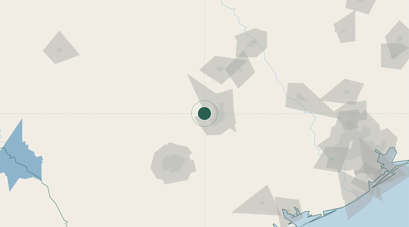
Lakeway
30.3667°, -97.9833°
14,217
Population
1
Transport functions
Transport Functions
Multimodal
Hub Profile
Place type
Populated place
Region
Texas
Population
14,217
Time zone
America/Chicago
Elevation
251 m
Location
Nearby Logistics Neighbours
Cities
- 1Wimberley42 km
- 2Kyle44 km
- 3Granite Shoals45 km
- 4Hutto46 km
- 5Kingsland53 km
Ports
- 1Port Lavaca235 km
- 2Palacios254 km
- 3Deer Park264 km
- 4Houston269 km
- 5Pasadena276 km
Airports
Trade Zones
- 1FTZ No. 183 Austin26 km
- 2FTZ No. 080 San Antonio126 km
- 3FTZ No. 246 Waco149 km
- 4FTZ No. 113 Ellis County234 km
- 5FTZ No. 039 Dallas Fort Worth264 km
DatabookThe Record of Consolidated Knowledge
United States beyond logistics?