Transport Functions
Port
Road
Hub Profile
Place type
Populated place
Region
Texas
Time zone
America/Chicago
Elevation
316 m
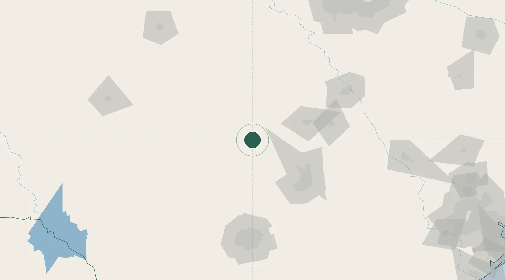
Location
Nearby Logistics Neighbours
Cities
- 1Llano24 km
- 2Kingsland26 km
- 3Granite Shoals34 km
- 4Lampasas35 km
- 5San Saba43 km
Ports
- 1Port Lavaca309 km
- 2Deer Park326 km
- 3Palacios327 km
- 4Houston331 km
- 5Pasadena338 km
Airports
Trade Zones
- 1FTZ No. 183 Austin98 km
- 2FTZ No. 246 Waco137 km
- 3FTZ No. 080 San Antonio159 km
- 4FTZ No. 113 Ellis County209 km
- 5FTZ No. 039 Dallas Fort Worth209 km
DatabookThe Record of Consolidated Knowledge
United States beyond logistics?