Medium airport · United States
Killeen Regional Airport / Robert Gray Army AirfieldKGRK
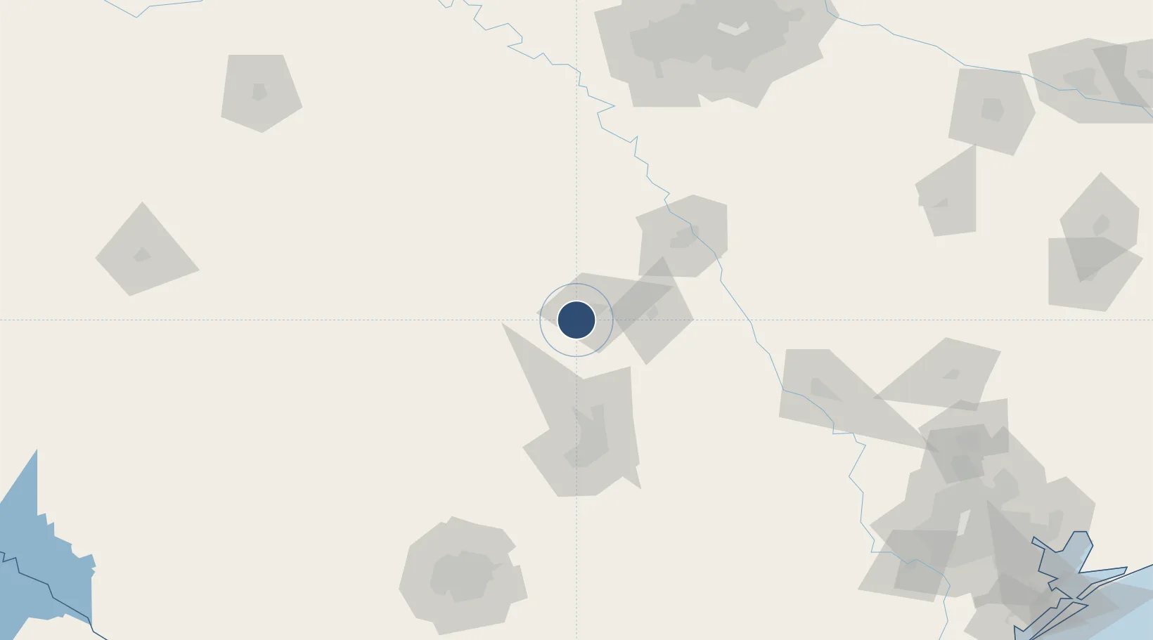
31.0672°, -97.8289°
9,997 ft
Longest runway
1
Runways
1,015 ft
Elevation
Runway & Layout

Radio Frequencies
ATIS
111.8 MHz
TWR
120.75 MHz
GND
126.2 MHz
GRAY GND
CLD
121.8 MHz
CLNC DEL
A/D
120.075 MHz
GRAY APP/DEP
INFO
30.45 MHz
RANGE CTL
MISC
38.75 MHz
FT HOOD FLT FLW
PMSV
41.2 MHz
PMSV GRAY METRO
PTD
38.7 MHz
Navaids
GR NDB Starn 323 kHz
GRK VOR-DME Gray 111.80 MHz
Runways · 1
| Runway | Dimensions | Surface | True heading | Lit |
|---|---|---|---|---|
| 15/33 | 9,997 × 200ft | Asphalt / concrete | 157° | ✓ |
Airport Specifications
IATA code
GRK
ICAO code
KGRK
Airport class
Medium airport
Scheduled service
Yes
Runway surface
Asphalt / concrete
Served city
Fort Cavazos
Location
Nearby Logistics Neighbours
Airports
Cities
- 1Harker Heights16 km
- 2Lampasas32 km
- 3Pendleton48 km
- 4Bartlett49 km
- 5McGregor58 km
Ports
- 1Deer Park281 km
- 2Houston285 km
- 3Pasadena292 km
- 4Port Lavaca297 km
- 5Palacios307 km
Trade Zones
- 1FTZ No. 246 Waco77 km
- 2FTZ No. 183 Austin90 km
- 3FTZ No. 113 Ellis County157 km
- 4FTZ No. 039 Dallas Fort Worth187 km
- 5FTZ No. 168 Dallas Fort Worth188 km
DatabookThe Record of Consolidated Knowledge
United States beyond logistics?