Foreign Trade Zone · United States

FTZ No. 183 Austin Active
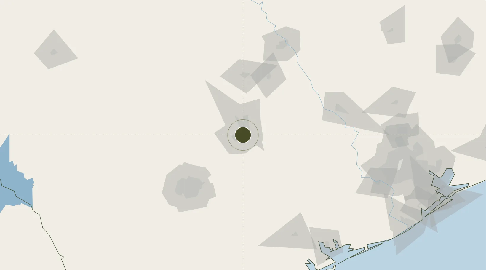
30.2655°, -97.7402°
213.2 km
Nearest port
10.7 km
Nearest airport

Gateway access

Nearest neighbours — logibook spatial index (haversine) over the source coordinates

Zone profile

Zone type
Foreign Trade Zone
Open Zone Map
Region
Texas
Open Zone Map
Status
Active
Open Zone Map
Management
Public-Private Partnership
Open Zone Map
Operator
Foreign Trade Zone of Central Texas, Inc.
Open Zone Map
Legal framework
Foreign-Trade Zones Act
Open Zone Map

Location

Location of ozm-4928
Natural Earth 10m (public domain) · Texas · ozm-4928 · 30.27, -97.74GoogleOSMYandex

Nearby Logistics Neighbours

Ports
  1. 1Port Lavaca213 km
  2. 2Palacios230 km
  3. 3Deer Park239 km
  4. 4Houston243 km
  5. 5Pasadena251 km
Nearest neighbours — logibook spatial index (haversine) over the source coordinates
Airports
  1. 1Austin Bergstrom International Airport11 km
  2. 2Austin Executive Airport22 km
  3. 3San Marcos Regional Airport43 km
  4. 4New Braunfels National Airport69 km
  5. 5Killeen Regional Airport / Robert Gray Army Airfield90 km
Nearest neighbours — logibook spatial index (haversine) over the source coordinates
Cities
  1. 1Lakeway26 km
  2. 2Kyle34 km
  3. 3Hutto35 km
  4. 4Elgin37 km
  5. 5Red Rock43 km
Nearest neighbours — logibook spatial index (haversine) over the source coordinates
Trade Zones
  1. 1FTZ No. 080 San Antonio134 km
  2. 2FTZ No. 246 Waco150 km
  3. 3FTZ No. 113 Ellis County237 km
  4. 4FTZ No. 084 Harris County240 km
  5. 5FTZ No. 171 Liberty County255 km
Nearest neighbours — logibook spatial index (haversine) over the source coordinates
DatabookThe Record of Consolidated Knowledge
United States beyond logistics?
Browse databook

All Sources

Trade ZonesOpen Zone Map
CC BY
Portsthe NGA World Port Index
Public domain (US gov)
AirportsOurAirports
Public domain
LocationsUN/LOCODE
UN/LOCODE — free
← United States trade zones