Medium airport · United States

Austin Executive AirportKEDC
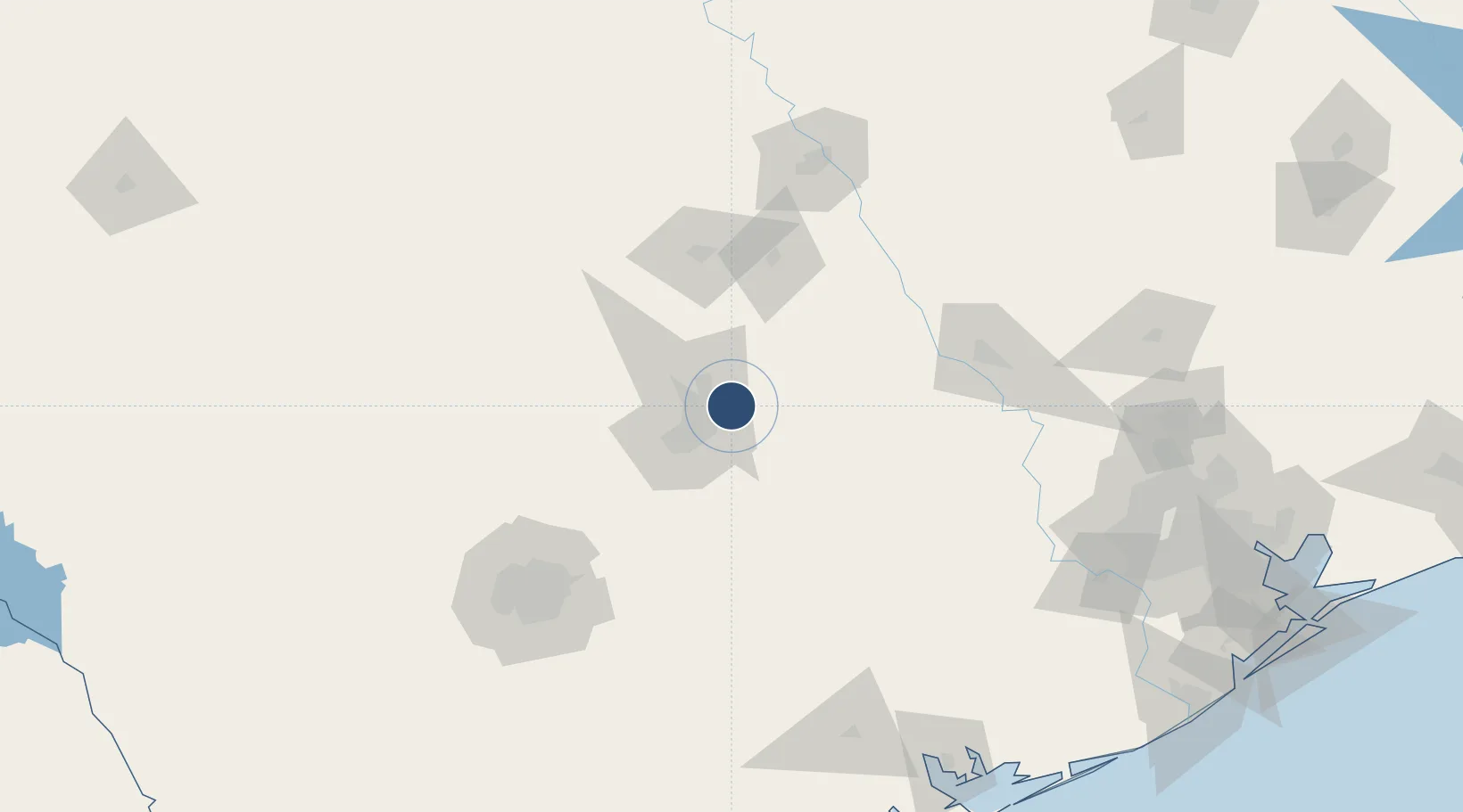
30.3980°, -97.5669°
6,025 ft
Longest runway
2
Runways
620 ft
Elevation

Runway & Layout

Austin Executive Airport runway & taxiway layout
Runway & taxiway layout — OpenStreetMap (ODbL) / OurAirports

Runways · 2

RunwayDimensions SurfaceTrue headingLit
13/31 6,025 × 100ft ASPH-G 131°
16/34 1,550 × 25ft ASPH-F 166°
OurAirports

Airport Specifications

ICAO code
KEDC
OurAirports
Airport class
Medium airport
OurAirports
Scheduled service
Yes
OurAirports
Runway surface
ASPH-G
OurAirports
Served city
Pflugerville
OurAirports

Location

Location of KEDC
Natural Earth 10m (public domain) · Texas · KEDC · 30.40, -97.57GoogleOSMYandex

Nearby Logistics Neighbours

Cities
  1. 1Hutto15 km
  2. 2Elgin21 km
  3. 3McDade35 km
  4. 4Bastrop40 km
  5. 5Lakeway40 km
Nearest neighbours — logibook spatial index (haversine) over the source coordinates
Ports
  1. 1Port Lavaca218 km
  2. 2Deer Park227 km
  3. 3Palacios231 km
  4. 4Houston231 km
  5. 5Pasadena239 km
Nearest neighbours — logibook spatial index (haversine) over the source coordinates
Trade Zones
  1. 1FTZ No. 183 Austin22 km
  2. 2FTZ No. 246 Waco132 km
  3. 3FTZ No. 080 San Antonio156 km
  4. 4FTZ No. 113 Ellis County218 km
  5. 5FTZ No. 084 Harris County228 km
Nearest neighbours — logibook spatial index (haversine) over the source coordinates
DatabookThe Record of Consolidated Knowledge
United States beyond logistics?
Browse databook

All Sources

AirportsOurAirports
Public domain
Portsthe NGA World Port Index
Public domain (US gov)
LocationsUN/LOCODE
UN/LOCODE — free
Trade Zonesthe World Bank SEZ database
CC BY 4.0
Trade ZonesOpen Zone Map
CC BY
InfrastructureOpenStreetMap
ODbL 1.0
← United States airports